![“Above Normal” Hurricane Season Expected [AUDIO]](http://townsquare.media/site/564/files/2013/08/NOAA2.jpg?w=980&q=75)
“Above Normal” Hurricane Season Expected [AUDIO]
It's the news residents at the Jersey Shore have been dreading, 2013 is expected to have an above normal hurricane season.
That's according to the National Oceanic and Atmospheric Association (NOAA), though the season is not expected to be as bad as earlier predicted.
Already there have been four named storms before the start of hurricane season, something Dr. Gerry Bell, Lead Seasonal Hurricane Forecaster at NOAA's Climate Prediction Center (a division of the National Weather Service, says is a historic indicator of a heavy hurricane season.
The updated outlook report issued by NOAA calls for a 70 percent chance of an above normal storm season. The report also estimates a 70 percent chance that between June 1st and November 30th we will see:
- 13 to 19 named storms (top winds of 39 mph or higher)
- 6 to 9 hurricanes (top winds of 74 mph or higher)
- 3 to 5 could be major hurricanes (Category 3, 4 or 5; winds of at least 111 mph)
(The above totals include tropical storms Andrea, Barry, Chantal, and Dorian)
The average for the past 30 seasons is 12 named storms, six hurricanes, and three major hurricanes.
For Garden State residents terrified of the potential of so many storms, Bell reminds the season hurricane outlook does not predict hurricane landfall.
"That means it's not a prediction of whether or not a particular location is more or less likely to be struck by a hurricane…where a hurricane strikes, how many hurricanes strike, their strength and damage, all depend on the weather patterns that are in place at the time a hurricane is approaching."
The updated outlook shows has less extreme expectations than the pre-season outlook, which was issued in May. In May, the outlook called for 13-20 named storms, 7-11 hurricanes and three to six major hurricanes.
Motivating this change is a decreased likelihood that La Niña will develop and bring its reduced wind shear that further strengthens the hurricane season. Other factors are the lack of hurricanes through July, more variability in the wind patterns across the tropical Atlantic Ocean and slightly lower hurricane season model predictions.
The peak hurricane season is still yet to come, landing between mid-August and November, however Bell says already they're predicting atmospheric and oceanic conditions will be favorable for storm development.
The current conditions are similar to those of the above-active 1995 hurricane season, which included an above average Atlantic sea surface temperature and a strong rainy season in west Africa.
2013 will continue a streak of above normal hurricane season. Dr. Bell says since 1995 we have been in the middle of a tropical climate pattern that controls hurricane activity for decades at a time, and has been known to produce more severe storms.
"It typically lasts anywhere from 25 to 40 years, so we're in what known as a high activity era, and we're 18 years into that."
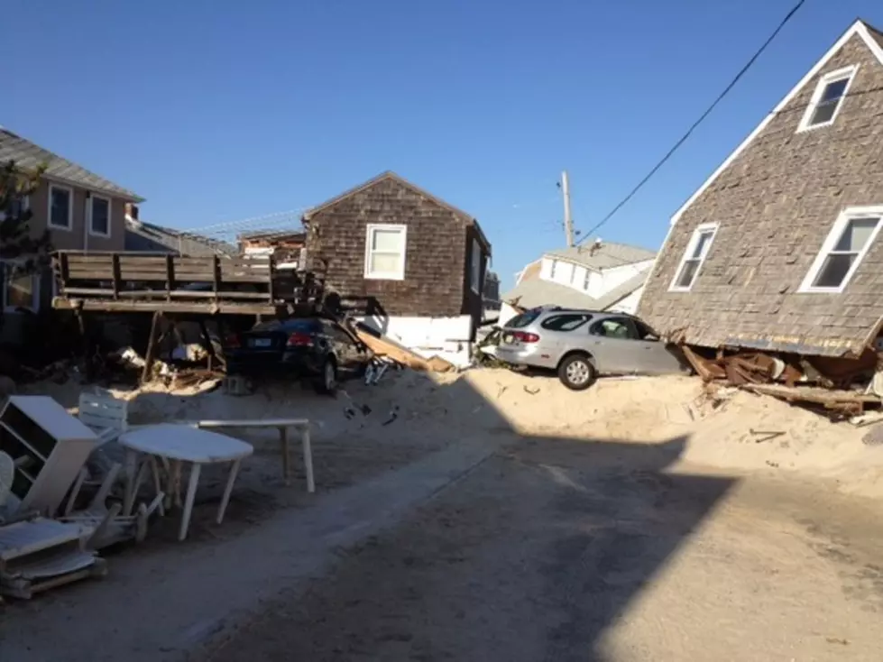
After Sandy caused untold devastation, Michael Oppegaard, Director of the Monmouth County Office of Emergency Management, says we've seen what a serious storm can do.
"It proves the fact that we all need to take some responsibility and make sure our families and homes are prepared for these types of things that may occur."
With a lot of the state's property and infrastructure still vulnerable since last October's storm, Oppegaard says it won't take another storm with the strength of Sandy to cause serious damage once again.
"A small tropical storm, not even a hurricane, could give us some significant challenges."
More From WPG Talk Radio 95.5 FM


