Weekend Warmup? Not Before a Bitterly Cold Friday
Today's bitter cold will be followed by still more Arctic air and gusty winds, creating dangerously cold wind chills on Friday morning. But there is a chance for a weekend warmup.
Bitter Cold is Back
This February will likely rank among the top 5 coldest Februarys on record for several weather stations in the state. So, as I’ve said before, this isn’t “regular ol’ New Jersey winter cold” this is “near-record cold”. That climatological context is really important to keep in mind, both for forecasters like me, and the general public like you.
The core of this particular arctic air mass settles over New Jersey early Friday morning. Temperatures look to be about as cold as this past Sunday and Monday mornings, with lows around 0°. Extreme wind chills of -10° to -20° are likely. Unlike Sunday and Monday, however, school and work will be in session tomorrow, making for a frigid and downright dangerous commute. I wouldn’t be surprised to see some delayed openings tomorrow due to the cold weather.
Friday will stay very cold, with highs only in the teens and wind chills no better than the single digits all day long.
Wintry, Wet, Warm Weekend
The good news is that warmer temperatures are finally coming this weekend... We could see 50° temperatures for the first time in almost two months!
The bad news is that it will be hard to enjoy the warmth due to snow, freezing rain, and rain.
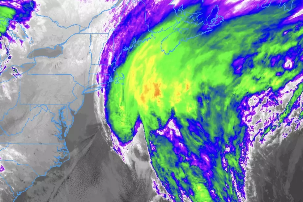
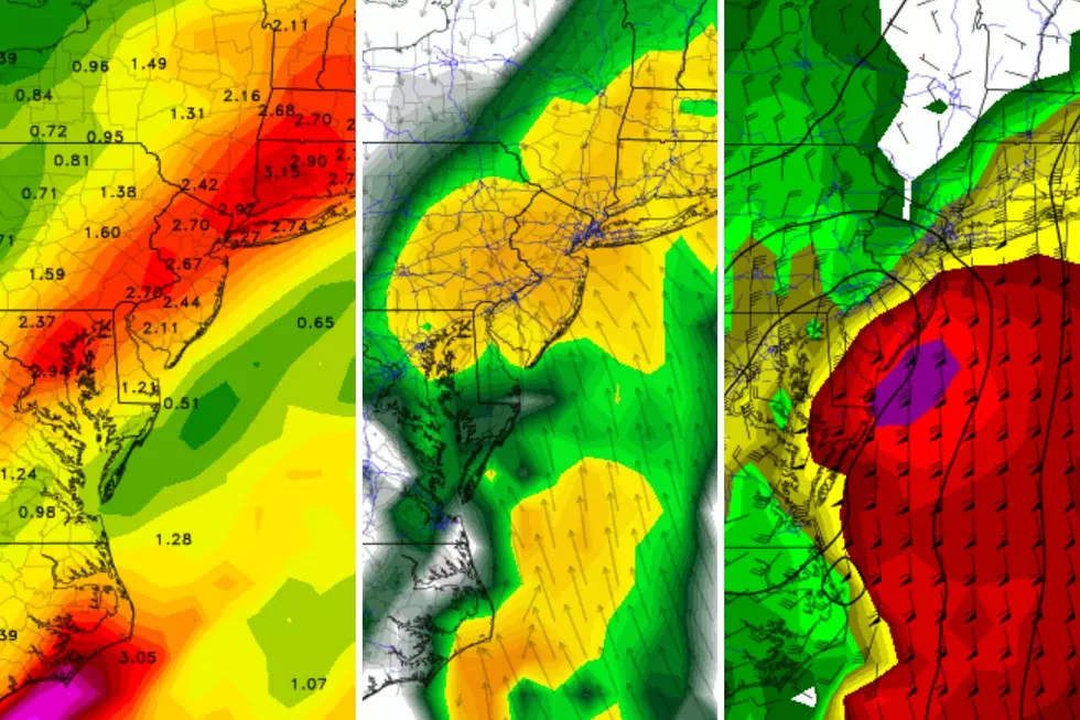
The daytime hours on Saturday look all right: mostly cloudy skies, an occasional breeze, and highs around 30 degrees. By evening, we’ll see our next storm system arrive, and I’m thinking temperatures will be cold enough to sustain snow showers when it does. Snow continues through the late evening and overnight hours, perhaps accumulating a few inches somewhere in New Jersey.
Warm Air Advection. Remember that phrase - it will be our friend this weekend. It means that the storm system will enact south-southwest winds throughout the weekend, carrying warmer air into New Jersey, causing temperatures to rise. In fact, temperatures look to climb even through the Saturday-Sunday overnight hours. That will cause a changeover from snow to freezing rain. You’ll recall that freezing rain is precipitation that falls from the sky as liquid rain, and then freezes on contact with cold surfaces (such as snow cover, streets, cars, etc.) So I am a little worried about the icing potential for late Saturday night and early Sunday morning, right around Midnight.
As temperatures continue to warm throughout Sunday morning, the freezing threat lessens, and we’ll transition to outright rain. (Hopefully by sunrise Sunday at the latest.) As I mentioned above, thermometers will climb to about 50° on Sunday. Unfortunately, the pockets of moderate to heavy rain will make the warmth hard to enjoy.
Cold Continues
Even more unfortunate will be the next arctic cold front that follows Sunday’s warm and wet weather. Plunging temperatures early next week will mark our return into the cold zone. This next arctic blast, however, does not look quite as frigid as the past few. Afternoon temperatures on Monday and Tuesday will only reach the lower to mid 20s.
Don’t shoot the messenger, but there are no other substantial warmups in sight for the next two weeks.
More From WPG Talk Radio 95.5 FM