Foggy Start, Sunny Finish to Wednesday Across NJ
As Hurricane Gert turns out to sea, rough surf and a high risk of rip currents has been posted for the Jersey Shore Wednesday.
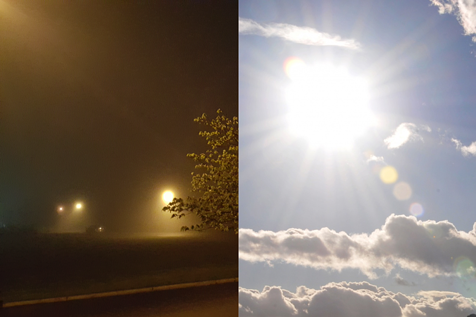
Our latest round of wet weather has departed New Jersey. And, in its wake, we're waking up to some incredibly thick and widespread fog across the Garden State. Fun fact: FOG was my college advisor's favorite type of weather. Probably because it's so mysterious and so difficult to forecast.
Anyway, visibility is below a quarter-mile in many spots. At highway speed, that means you can only see about 10 to 15 seconds ahead of you. So slow it down and use only low-beam headlights and/or fog lights.
Look for the fog to start breaking after sunrise (6:12 a.m. in Trenton). Visibility will improve significantly by 8 a.m. The fog should be substantially gone by 10 a.m.
For the rest of the day, we'll enjoy increasing sunshine. My estimates show North Jersey becoming mostly sunny by Wednesday late morning, with sunshine overtaking the rest of the state by Wednesday afternoon.
It is going to be a very warm, summery day. High temperatures will reach the mid to upper 80s for most. There could be a few 90s sprinkled in too.
As usual, the cool spot on Wednesday will be the coast. However, if you're headed to the beach, be very apprehensive about entering the ocean. As Hurricane Gert pushes northeastward and out-to-sea, it continues to churn up the Atlantic. Wave heights to 5 or 6 feet are possible along the entire Jersey Shore Wednesday, with a high risk of rip currents posted too. The surf should begin to subside late-day.
Wednesday night looks quiet, mostly clear, and comfortable. Overnight low temperatures are expected to dip into the 60s across the state.
Thursday will be another pleasant day, with abundant sunshine to start. Then clouds return by Thursday evening. High temperatures will generally reach the lower 80s. Humidity will be manageable and winds will be light.
Wet and stormy weather returns to the Garden State on Friday. Thunderstorms are likely throughout the day, and it's going to be a very humid and breezy day. Temperatures will be highly dependent on how much sunshine breaks through the clouds and storms — my math puts us somewhere between the upper 70s and mid 80s to end the workweek.
And then along comes the weekend, and it looks promising. I can't rule out a few showers, especially residual raindrops early Saturday morning. The latest model runs show mostly to partly sunny skies for both Saturday and Sunday. It's going to be pretty hot, as thermometers climb to around 90 on Saturday and about 85 degrees on Sunday.
In other words, it looks like this weekend will actually feel like August! Bring it on, Mother Nature!
More From WPG Talk Radio 95.5 FM


