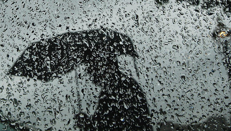
Possible 90s with Spotty Storms and Heavy Downpours
Hot temperatures, high humidity, and isolated heavy downpours will make for an uncomfortable weather day overall.
Here are your weather headlines for Tuesday, July 7, 2015...
Heat & Humidity
Yup, it's definitely summertime in New Jersey! We will have to deal with some heat and humidity for the next couple of days. (Nothing new for the month of July, of course.) While we won't quite reach the level of "dangerous" heat, it will be quite uncomfortable today, tonight, and tomorrow.
High temperatures today should reach the 85° to 90° range. Dew points are almost exclusively in the 70s this morning - indicating a very humid, steamy air mass. I expect this afternoon's heat index - the "feels like" temperature - to top 95° and perhaps even approach 100°.
I often say that the worst part of a stretch of hot weather is when we don't cool down at night. During summertime heat streaks, people, plants, animals, and even buildings need a break from heat and humidity at night to "refresh". Tonight's low temperatures are expected to fall to about 70° to 76° across New Jersey. That's not refreshing - that's disgusting!
One more hot day is forecast for Wednesday, as temperatures soar to around the 90° mark. Eventually, clouds and rain will begin to cool us off by Wednesday afternoon, and a cold front Wednesday night will put a temporary end to these above normal temperatures. There's still a bit of uncertainty regarding exactly where Thursday's high temperatures will end up, but we'll almost certainly end up about 10° cooler than Wednesday.
Storm Chances
Just as Monday saw a few spot storms pop up in the heat of the day, we'll be watching the skies on Tuesday afternoon for some isolated showers and thunderstorms. This morning's models put the best chance for rain in the northern half of New Jersey (above I-195) today, but I wouldn't rule out raindrops in South Jersey today.
I'm not overly concerned about severe weather, although heavy rain is a concern given the high amount of available moisture in the atmosphere. If a heavy downpour sits over one area for an extended period of time, storm drains could become inundated and low-lying areas could easily flood. There may be little to no notice before the heavy rain causes water to rise... but as long as you play it smart, this flash flooding event is unlikely to be life-threatening. Never attempt to drive, walk, or swim through flooded areas - no matter how shallow you "think" the water is. Turn Around, Don't Drown!
We'll have another round of showers and thunderstorms by Wednesday afternoon, spawned by an approaching cold front and once again fueled by the heat of the day and our abundant humidity. And once again, heavy rains and flooding will be a concern. This batch of rain is likely to last through at least Thursday morning before scattered showers finally come to an end. One more round of rain is showing up for Thursday night and early Friday morning.
The Weekend Ahead
Ah yes, the calendar shows that yet another summer weekend will be here before you know it. And we're always watching the weekend forecast closely!
I like what I'm seeing for this Saturday and Sunday. As high pressure builds in by Friday afternoon, skies will clear nicely and the models keep us rain-free for the vast majority of the weekend. (The exception looks to be a few showers and storms late in the day Sunday.) It will definitely feel like summer, with highs in the mid 80s on Friday, upper 80s on Saturday, and around 90° on Sunday. Humidity will be manageable.
More From WPG Talk Radio 95.5 FM


