
Spotty Rain Enters the NJ Forecast for the Next Few Days
The remnants of Irma will make for a period of unsettled weather across New Jersey, while we keep a close eye on Hurricane Jose in the Atlantic, too.
Here are your weather headlines for Wednesday, September 13, 2017...
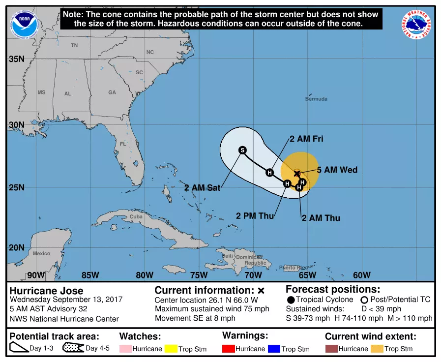
Watching Jose
Before I get into our local forecast, let's talk about Hurricane Jose. As I've been talking about all week, the storm is doing a "loop de loop" between the Bahamas and Bermuda, and poses no immediate threat to land. Confidence is increase that the storm will point out-to-sea after its circular track is complete. That's not definite though — I want to keep all possibilities on the table until at least Friday.
Meanwhile, Jose continues to spit surf and swell toward the Jersey Shore. A Moderate Risk of dangerous rip currents has been posted for the entire NJ coastline on Wednesday.
The Ghost of Irma
The remnants of Irma are massive, but highly unimpressive. What was once an incredibly strong hurricane is now a run-of-the-mill rainstorm. As it inches toward New Jersey, we do have to increase rain chances in the forecast.
Irma clouds have been streaming through the skies of the Garden State since Monday. And now, we expect some spotty showers to affect the state on Wednesday. There could even be a few rumbles of thunder. However, I believe raindrops on Wednesday will be the exception not the rain — much of New Jersey should stay dry all day. You'll notice an uptick in humidity by Wednesday afternoon. Skies will range from partly to mostly cloudy, with high temperatures in the upper 70s to around 80 degrees.
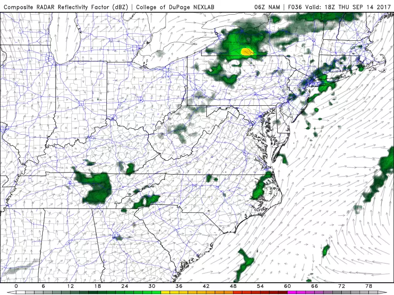
Thursday looks like the wettest day of the week, with upwards of a half-inch of total rainfall. (That's still not a lot.) I think the entire state of New Jersey is prone to see at least some rain on Thursday, but it shouldn't be a washout of a day. Skies will be mostly cloudy, with high temperatures mostly in the lower 80s.
As Irma's remnant low pushes off-shore, our rain chances will taper off on Friday. There will still be a chance for a shower or thunderstorm, especially in North Jersey. Otherwise, we'll enjoy a mix of sun and clouds to end the workweek, with warm temps again in the lower 80s.
Final Weekend of Summer
Irma's remnants escape just in time, and Jose wouldn't be a problem until next week. The end result of that complicated forecast? Great weekend weather!
The latest data suggests we'll return to sunshine by midday on Saturday. High temperatures for both Saturday and Sunday should climb above normal for mid-September, in the lower to mid 80s.
By the way, the start of autumn officially falls at 4:02 p.m. EDT on Friday, September 22.
More From WPG Talk Radio 95.5 FM


