NJ Beach Weather and Waves: Jersey Shore Report for Wed 9/1
Advisories
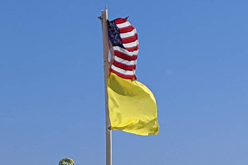
MODERATE RISK OF RIP CURRENTS. Individuals planning to enter the surf should check with local beach patrols first. Be sure to swim within sight of a life guard, and never swim alone or at night.
At the Shore
Current conditions and forecast as of Wed morning
| Air Temperature | 72° - 80° |
|---|---|
| Winds | From the East 14 - 30 mph (Gust 35 mph) 12 - 26 knots (Gust 30 knots) |
| Waves | 2 - 7 feet |
| Rip Current Risk | Moderate |
| Ocean Temperature | 77° - 81° (Normal 72° - 73°) |
| Sunrise/Sunset | 6:23am - 7:30pm |
| UV Index | 6 (High) |

Tide Times
| SANDY HOOK Sandy Hook Bay | Low Wed 9:59a | High Wed 4:07p | Low Wed 11:07p | High Thu 4:53a | |
| LONG BRANCH Atlantic Ocean | Low Wed 9:23a | High Wed 3:41p | Low Wed 10:31p | High Thu 4:27a | |
| MANASQUAN INLET Atlantic Ocean | Low Wed 9:35a | High Wed 3:55p | Low Wed 10:43p | High Thu 4:41a | |
| SEASIDE HEIGHTS Atlantic Ocean | Low Wed 9:27a | High Wed 3:37p | Low Wed 10:35p | High Thu 4:23a | |
| SEASIDE PARK Barnegat Bay | High Wed 7:33a | Low Wed 2:04p | High Wed 7:47p | Low Thu 3:12a | |
| BARNEGAT INLET Barnegat Bay | Low Wed 9:50a | High Wed 4:08p | Low Wed 10:58p | High Thu 4:50a | |
| MANAHAWKIN BRIDGE Manahawkin Bay | High Wed 6:40a | Low Wed 1:38p | High Wed 6:54p | Low Thu 2:46a | |
| LITTLE EGG INLET Great Bay | Low Wed 10:20a | High Wed 4:57p | Low Wed 11:31p | High Thu 5:29a | |
| ATLANTIC CITY Atlantic Ocean | Low Wed 9:23a | High Wed 4:04p | Low Wed 10:45p | High Thu 4:38a | |
| OCEAN DRIVE BRIDGE Townsends Inlet | Low Wed 9:35a | High Wed 4:28p | Low Wed 11:02p | High Thu 4:48a | |
| WILDWOOD CREST Atlantic Ocean | Low Wed 9:32a | High Wed 4:18p | Low Wed 10:46p | High Thu 4:46a | |
| CAPE MAY Delaware Bay | Low Wed 10:27a | High Wed 5:01p | Low Wed 11:35p | High Thu 5:33a |
Marine Forecast
From the National Weather Service, Mt. Holly
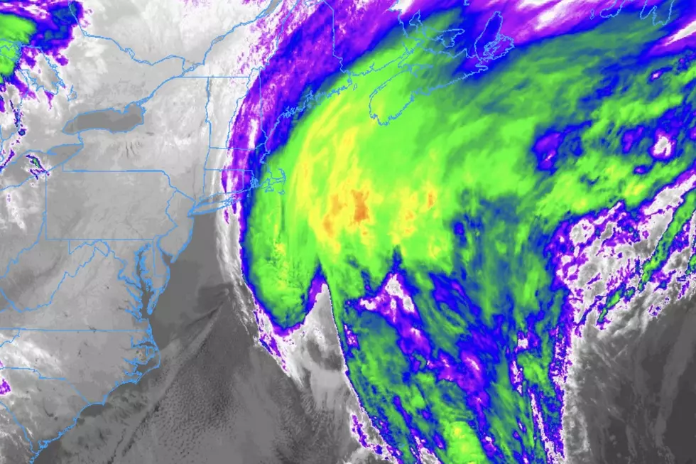
GALE WARNING IN EFFECT FROM THIS EVENING THROUGH THURSDAY MORNING
TODAY: N winds 5 to 10 kt, becoming NE late this morning, then becoming E with gusts up to 20 kt this afternoon. Seas 2 ft or less, then 3 to 4 ft this afternoon. Showers likely with a slight chance of tstms this morning, then showers and tstms likely this afternoon with vsby 1 to 3 NM. Swell mainly from the SE with a dominant period of 9 seconds, becoming mainly from the S with a dominant period of 6 seconds this afternoon.
TONIGHT: SE winds 15 to 20 kt, becoming S 20 to 25 kt in the late evening and early morning, then becoming N with gusts up to 30 kt late. Seas 4 to 7 ft. Showers. Tstms likely until early morning, then a chance of tstms late. Vsby 1 to 3 NM. Swell mainly from the S with a dominant period of 7 seconds.
THU: N winds 20 to 25 kt, diminishing to 15 to 20 kt in the afternoon. Gusts up to 30 kt. Seas 5 to 7 ft. Showers likely with a chance of tstms early in the morning, then a chance of showers in the late morning and early afternoon. Swell mainly from the S with a dominant period of 7 seconds, becoming mainly from the N with a dominant period of 6 seconds in the afternoon.
THU NIGHT: N winds around 15 kt with gusts up to 20 kt. Seas 4 to 6 ft, subsiding to 3 to 4 ft after midnight. Swell mainly from the NE with a dominant period of 7 seconds, becoming mainly from the E with a dominant period of 8 seconds after midnight.
FRI: N winds 10 to 15 kt with gusts up to 20 kt. Seas 3 to 4 ft.
FRI NIGHT: N winds around 10 kt. Seas 2 ft or less.
SAT: N winds around 10 kt, becoming SE in the afternoon. Seas 2 ft or less.
SAT NIGHT: SW winds 5 to 10 kt. Seas 2 ft or less.
SUN: SW winds 10 to 15 kt. Seas 3 to 4 ft.
SUN NIGHT: SW winds 10 to 15 kt. Seas 3 to 5 ft. A chance of showers. Winds and seas higher in and near tstms.
Plan Your Trip
Data on this page amalgamated from several sources, including the National Weather Service (weather), National Ocean Service (tides), U.S. Naval Observatory (sun), and the U.S. Environmental Protection Agency (UV index).
More From WPG Talk Radio 95.5 FM