NJ Nor’easter Update: Worst Weather Over, Still More Rain and Wind to Come
The Bottom Line
It has been a very wet morning so far across New Jersey, as a potent nor'easter (coastal storm) passes by. Although it appears we have escaped catastrophic flooding issues this time around, driving conditions will remain challenging through Tuesday morning's commute.
Although the worst weather and highest flooding threat is behind us now, the storm system isn't done with New Jersey just yet. Additional rain and wind is expected through Tuesday night and Wednesday morning, before skies finally start to clear.
Another potentially significant storm is looming in the forecast for the end of the week.
The Storm So Far
As of this writing, radar estimates and automated rain gauges put total rainfall around 1-2" across most of New Jersey. Some pockets of 2-3" were observed around Ocean, Monmouth, Mercer, Middlesex, and Union counties. And the bullseye so far has been the Passaic County area, where a stagnant heavy thunderstorm contributed to 3-4" of total rainfall. (Keep in mind: These aren't final totals, as the storm isn't over.)

NJ's top wind gust so far: 46 mph at Lower Alloways Creek Township, Salem County. But again, we're not done with wind yet. (In fact, models suggest the strongest wind gusts will come later Tuesday.)
Timeline
As of this writing (6 a.m.), it's still pouring across the vast majority of New Jersey. But there is a glimmer of hope — dry air has started to creep into the southwest corner of the state. As the orientation of this broad heavy rain band shifts, most of the state will see rain break apart by mid-morning.
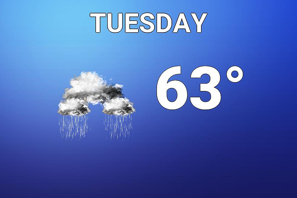
In fact, I think it's fair to call Tuesday's daytime hours mainly dry for most of New Jersey. From at least mid-morning through mid-afternoon. The noted exception: North Jersey, which could be rainy and wet all day. (Possibly north of I-78, most likely north of I-80.)
Having said that, it's not going to be a pleasant day at all. Cloudy and increasingly windy. And occasional spotty rain is likely too. Temperatures will go nowhere, stuck on either side of 60 degrees all day.
In addition, as the storm rotates and wobbles, model guidance overwhelmingly supports one more surge of rain and wind from Tuesday late afternoon through Tuesday night. I don't see anything too "bonkers" here, but it will get wet and windy through the overnight.
Final showers will wrap up around daybreak Wednesday morning. We should see partial clearing by Wednesday afternoon.
Additional Impacts
I could see another 1-2" of rain in the bucket in North Jersey — again, that slice of the state where it is expected to continue raining all day Tuesday. (And all night too.)
Farther south, additional rainfall will probably end up between a half-inch and an inch. Wet, but not too dramatic. So the risk of flooding goes way down going forward — of course, if we get a localized downpour over-saturated soil, it could lead to big puddles.
A Flash Flood Watch continues until Tuesday evening for all 21 counties in New Jersey.
Wind gusts will actually peak later Tuesday. The forecast looks better, with top gusts ranging from about 30 mph (inland) to 50 mph (coast).
We'll also have to watch the coastal flooding picture. (Which also looks better, thanks to the decreased wind forecast.) An extra foot of water could cause extra-high high tide cycles for both Tuesday and Wednesday. The midday tide cycles look to be the most precarious, with widespread minor category flooding still on the table.
Looking Ahead
Wednesday will still be breezy, with increasing brightness. Partly sunny and lower-mid 60s should make for a nice fall day.
Thursday looks OK. A little greyer, although less breeze. Highs will only reach about 60 degrees, give or take.
Yet another potent storm system is set to arrive Friday afternoon. The potential for heavy rain and flooding seems lower than our latest storm. On the other hand, the risk for damaging winds is higher. We'll start to further dial in impacts and timeline Wednesday morning, once our current nor'easter (almost) departs. That will include a look at whether rain will linger into Saturday.
Sunday (Halloween) looks dry, breezy, and pleasant.
BEEP BEEP BEEP: These are the 13 types of Wireless Emergency Alerts auto-pushed to your phone
Incredible, heartbreaking images of Ida's damage in New Jersey
More From WPG Talk Radio 95.5 FM


