NJ weather: One more beautiful day before some showers and wind
The Bottom Line
Monday was such a gorgeous day to be outside, soak up some sunshine, and breathe in the fresh spring air. I am happy to say we have several more instances of bright, pleasant weather coming up this week.
There is one hiccup though, and that is Wednesday. A storm system will do four things to New Jersey's weather, in order:
1.) Increase cloud cover, starting Tuesday evening
2.) Drive in a quick batch of showers, Wednesday morning
3.) Kick up some wind, through Wednesday afternoon
4.) Initiate a cooldown, into Thursday
A return to pleasant weather on Thursday and Friday will be short-lived, as conditions will turn unsettled again starting this weekend. But it looks like on-and-off rain will be punctuated with some serious warmth. Things are trending toward 70s and even 80s for early next week.

Tuesday
No weather woes whatsoever Tuesday, as we enjoy another beautiful April day.
You will find a chill in the air Tuesday morning, with temperatures starting out in the 30s and 40s.
Afternoon highs should reach the lower to mid 60s, a degree or two warmer than Monday.
We will enjoy sunny skies throughout the state, with a fresh breeze out of the south up to 20 mph. The wind will not be overbearing, but noticeable. Tuesday stays completely dry.
Clouds will start to filter in to the sky by late afternoon, increasing even more Tuesday evening. Overnight low temperatures will dip into the upper 40s on average — not as cold as the last couple of nights.
Wednesday
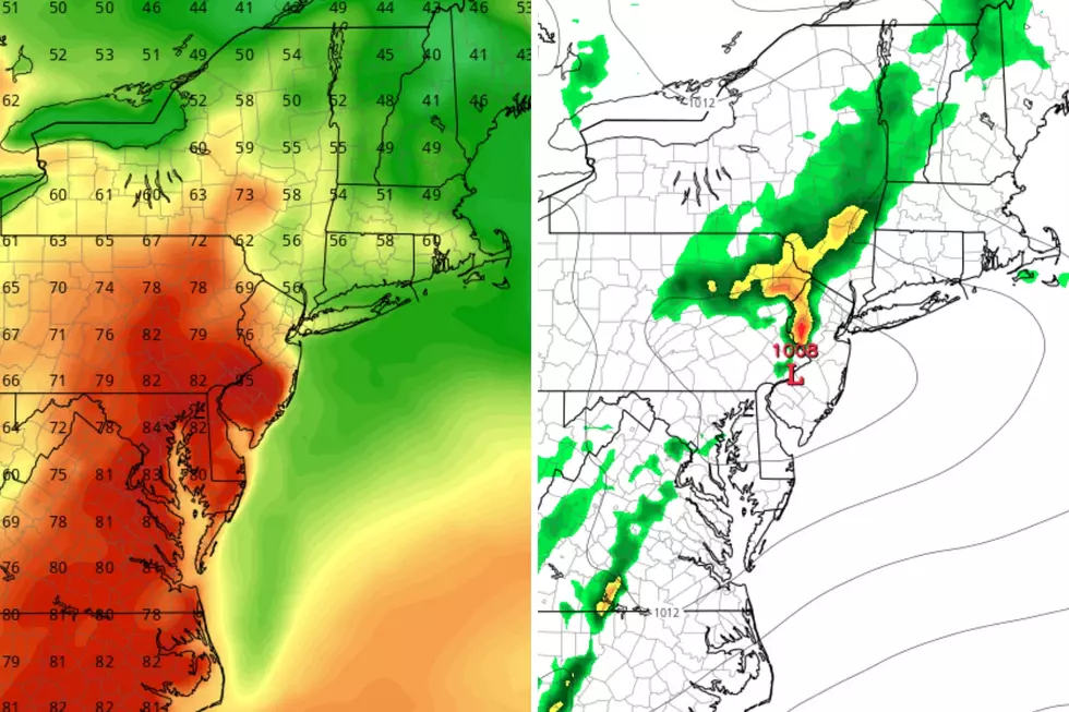
Wednesday will begin with a period of damp weather across New Jersey. Expect a quick batch of showers, centered between about 4 a.m. and 9 a.m. Wednesday. We are only talking about a tenth of an inch of total rainfall, which is not much at all. There might be a rumble of thunder, but that is stretching it.
Once we dry out, by midday Wednesday, skies should clear to partial sunshine. The only problem in the second half of the day will be a brisk wind, possibly gusting over 30 mph.
High temperatures on Wednesday should remain on the mild side — again, most of the day will be rain-free and relatively pleasant. Thermometers are forecast to max out in the mid 60s.
Thursday
As a new air mass takes hold of New Jersey, we will dry out and cool down again.
Thursday becomes bright and sunny again, with a calmer wind. High temperatures will be limited to the mid 50s — a one-day trip to below-normal territory.
Friday
I will call Friday mostly sunny, as some cloud cover comes into play once again. But it will be another dry and pleasant day, as high temps shoot for around 60 degrees. As we pick up a southeasterly breeze, the ocean-influenced Jersey Shore could be left in the uncomfortably cool 50s.
The Weekend & Beyond
There are two very different schools of thought regarding the weekend forecast at this time. The GFS model favors unsettled weather, and the return of daily showers and thunderstorms. But the Euro model is practically all dry through early next week.
The truth is probably somewhere in the middle: A few showers and thunderstorms around, alternating with periods of dry, nice weather.
Temperatures are less complicated, with a clear warming trend on the way. 60s Saturday, 70s Sunday, 80s Monday and beyond?
Although we may not hold on to that summerlike warmth for long, I think this does represent a general "step upward" in temperatures for the season. Widespread freezes and frosts will probably be done for the year as of next week. And we will start to see more and more highs in the 70s going forward too.
LOOK: Fastest-growing jobs in New Jersey
Gallery Credit: Stacker
Dan Zarrow is Chief Meteorologist for Townsquare Media New Jersey. Follow him on Facebook for the latest forecast and realtime weather updates.
The 15 best places to live in New Jersey
Gallery Credit: New Jersey 101.5
More From WPG Talk Radio 95.5 FM


