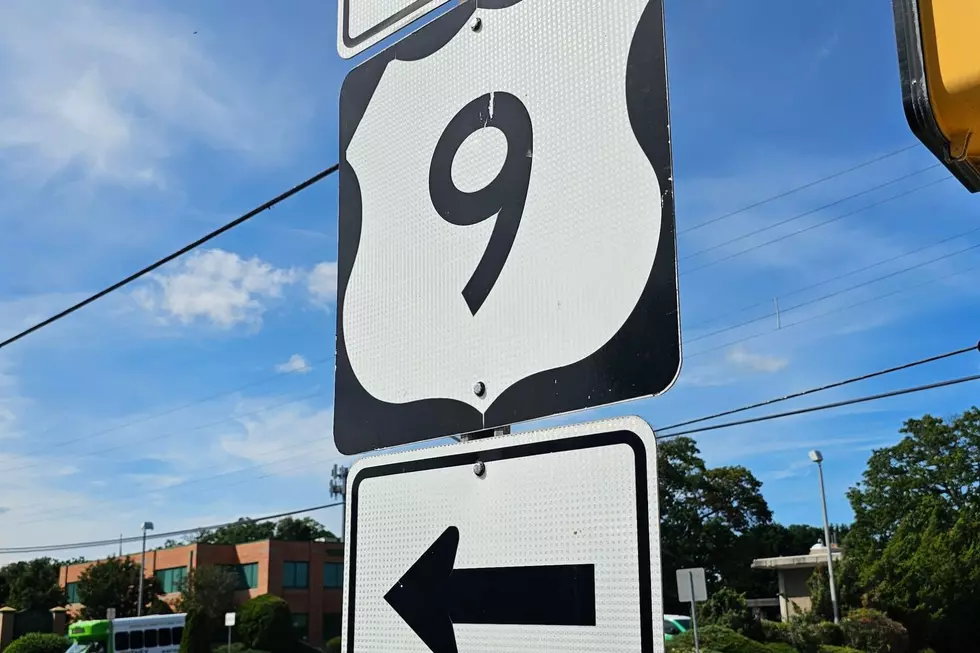
South Jersey Nor’easter by the Numbers: 4.5″ Rain, 74 MPH Wind Gust
The nor'easter that hammered the Jersey Shore this past weekend is finally moving on, and the numbers it left behind tell the story of one of the more significant coastal storms to hit the region in recent memory.
How It Unfolded
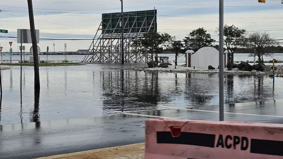
The storm spun up the coast late last week and pounded South Jersey through the weekend, with flooded roads, submerged cars, stranded drivers, major beach erosion, and power outages from Atlantic City to Cape May.
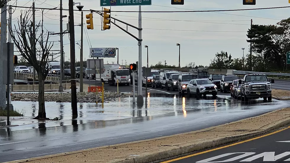
Speaking of which, Atlantic City was among the hardest-hit areas. Floodwaters ran from West End Avenue onto Route 40 for much of the weekend.
Waves reaching 8 to 10 feet drove significant beach erosion, carving a steep drop-off from the boardwalk to the beach.
Just up the Black Horse Pike, nine people were rescued from the motels in West Atlantic City.
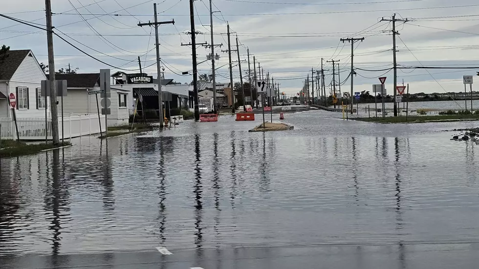
Wildwood took a direct hit as well. A Wildwood Fire Department official described the flooding as fast-moving and unusually high, even by local standards.
The Wind Numbers
Wind gusts across South Jersey peaked Thursday night into early Friday morning, with Cape May County recording some of the highest local readings:
- Avalon area: 61 MPH
- Near Wildwood: 61 MPH
- Atlantic City: 57 MPH
- Cape May Harbor: 54 MPH
Ocean County took the hardest punch in the region, with Surf City recording a gust of 74 MPH (which is hurricane force), the highest reported anywhere in the area during the storm. Harvey Cedars hit 69 MPH, and Ship Bottom clocked 67 MPH.

The Rain Numbers
Drought-busting rainfall totals across much of Atlantic County exceeded three inches. Here's how the county broke down:
- Linwood area: 3.57"
- Egg Harbor Township: 3.49"
- Folsom: 4.55"
- Atlantic City Int'l Airport: 3.45"
- Mays Landing: 3.46"
- Hammonton: 4.75"
Cape May County saw comparable totals, with Middle Township leading at over four inches.
- Middle Township: 4.52"
- Woodbine: 3.69"
- Lower Township: 3.52"
- Sea Isle City: 3.40"
What's Next
Good news: the storm is exiting, and a dry stretch is headed our way.
Sunny (and dry) weather will return on Tuesday and Wednesday with high temperatures in the 70s. By Thursday, local summer will return as we likely will hit 80°.
First fall nor'easter slams New Jersey
Gallery Credit: Erin Vogt
Significant or historical events in New Jersey for October (chronological order)
Gallery Credit: Dan Alexander
Chris Coleman is a South Jersey native and has been a cornerstone of the Atlantic City radio market since 1998. He serves as Brand Manager for WPG Talk Radio 95.5 and afternoon on-air personality for Cat Country 107.3. A five-time President's Circle award winner and Townsquare Media's 2024 Content Creator of the Year, Chris covers news, events, and stories of interest across Southern New Jersey. Story tips: chris.coleman@townsquaremedia.com
More From WPG Talk Radio 95.5 FM