Latest weekend storm update for NJ: Snow vs. slush vs. rain
UPDATE... This article is outdated...
For the latest storm forecast information, please refer to my newest weather blog post.
The Bottom Line
It has been a while since we've really played this "winter storm" game in New Jersey. So let's recap where we stand.
The first snowflakes and raindrops of this weekend's potential winter storm (or coastal storm, or nor'easter, or whatever) is still more than 72 hours away. That means we are still in "unknown" territory. We know there will be a storm, and it will affect New Jersey. And we have a pretty good idea of the timing, with primary impacts between Saturday afternoon and Sunday morning.
But the target area of low pressure has only just come ashore in northern California. Models are only just getting a taste of high-resolution observations. So there's still a high degree of uncertainty in the forecast here. Especially with regards to precipitation types and accumulations, which are highly track and temperature dependent.
So let's talk about general impacts and scenarios. Yes, this storm still poses New Jersey's best shot of widespread snow accumulation in almost two years. However, I still have serious hesitations about just how wintry this storm is going to be, especially along NJ's southern coast.

The Short-Term Forecast
Luckily, our weather for now is relatively quiet.
Wednesday will be a decent early January day. It is a cold, frosty morning with temperatures averaging upper 20s to start the day. Highs will reach the mid 40s Wednesday afternoon, a couple degrees warmer than Tuesday. We will see a mix of sun and clouds across the day, with dry conditions and only a light breeze.
Wednesday night will be seasonably cold, around the freezing mark in the lower 30s. Cloud cover will increase through Thursday morning.
On Thursday, a storm system sliding south of New Jersey could spark a quick snow or rain shower. Given the track, the best chance for a few raindrops and snowflakes would be in the southern half of the state. No big deal.
The rest of Thursday will turn breezy and blustery, with potential wind gusts to 30 mph. As skies clear, high temps will only reach the lower 40s.
Friday will be cold. Morning lows deep in the 20s. Afternoon highs only in the upper 30s, despite plenty of sunshine.
Weekend Storm: Background / Timeline
It is not a snow storm. It is not a rain storm. It is a little bit of both.
While it's still too early to talk about definitive accumulation numbers, there is a trend emerging amongst model data regarding overall storm impacts. In other words, who gets accumulating snow, who gets a challenging wintry mix, and who will see mainly rain.
The consensus timeline for first flakes/drops has shifted slightly earlier, now starting around mid-to-late afternoon on Saturday. The brunt of the storm — the period of heaviest precipitation — will squarely fall during the overnight hours, between Saturday evening and early Sunday morning. The storm will largely wind down Sunday morning, although snow showers may linger with a brisk wind throughout the entire day.
Exactly what falls from the sky is dependent on the storm track. Let's run through three possibilities.
Weekend Storm: Most Likely Scenario
This is a middle-ground track. And I believe it is the most realistic at this time.
Initial precipitation late Saturday would be snow to the north and west, approximately west of the New Jersey Turnpike. (That is the "red" area on my impacts map above.) Meanwhile, to the south and east, through much of central and southern New Jersey, the storm begins with rain or a slushy wintry mix. (The "yellow" and "green" areas above.)
As temperatures drop Saturday night, a transition from "wet to wintry" would take place within the "yellow" battle zone. As long as that flip happens early enough and snow intensity is hard enough, we would see some snow/slush accumulation deep into that "yellow" area.
Approximate accumulations: 6-10" Red / 2-6" Yellow / 0-2" Green
(Note: My numbers here are leaning to the high side on purpose, anticipating model guidance trending a bit colder and snowier. They also depend on a medium snow ratio in drier, colder North Jersey.)
Weekend Storm: Warmer Scenario
If the area of low pressure tracks farther north, warmer air will be dragged through New Jersey. Meaning rain will dominate over snow.
In such a scenario, both "green" and "yellow" would see mainly rain for the duration. I still think shovelable snow accumulation would fall to the northwest, yielding challenging travel conditions through Sunday morning.
Approximate accumulations: 3-6" Red / 0-3" Yellow / ~0" Green
Weekend Storm: Colder Scenario
If the area of low pressure tracks toward the southeast, New Jersey will end up on the cold side. Leading to a snowier situation.
I would not rule out a statewide flip to snow by Sunday morning. Timing is very important, whether such a change happens before or after the heaviest precipitation bands. If after, a wet ground to the southeast would still strictly limit snow accumulation.
Approximate accumulations: 8-12" Red / 4-8" Yellow / 0-4" Green
Weekend Storm: Other Impacts
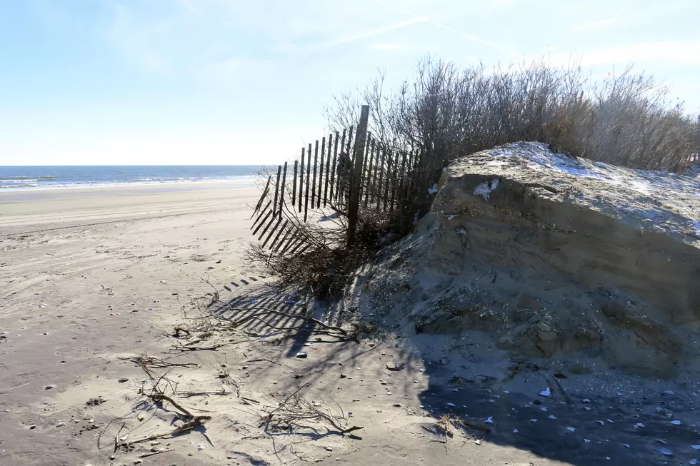
Let's not sleep on the Jersey Shore here.
A period of east-northeast winds on Saturday and Sunday will drive big ocean waves, storm surge, and coastal flooding. Tidal guidance is not yet available. But I am leaning toward several rounds of solid minor category flooding of tidal waterways, possibly touching the moderate category.
We will be able to better pinpoint these coastal impacts in another day or two.
Weekend Storm: Final Thoughts
As I said, I still have serious hesitations about the upper bound for potential snowfall this weekend. This storm will not be a blockbuster blizzard or a "bread and milk" storm.
But it will be impactful. And likely wintry for a good part of the state.
Against my better judgment perhaps, I have laid out here some wide ranges for potential snow accumulation. To summarize the overall accumulation potential: 3-12" Red / 0-8" Yellow / 0-4" Green. (See why I can't fully publicize those numbers yet? Way too uncertain.)
Bottom line: Both 0" of snow and a foot of snowfall are on the table for New Jersey. In fact, both could happen, at opposite ends of the state.
Over the next 24 to 36 hours, we will continue to firm up the forecast. Sometime Thursday, we will put together a more confident map with clearer accumulation numbers. And we will start to get an idea of those coastal impacts too.
Another storm threatens New Jersey around the middle of next week. It looks like a heavy rain machine, although I can not rule out a few quick inches of snow to the northwest. We will deal with the forecast for that one as it gets closer.
Glossary of NJ winter weather words and phrases
Gallery Credit: Dan Zarrow
Dan Zarrow is Chief Meteorologist for Townsquare Media New Jersey. Follow him on Facebook for the latest forecast and realtime weather updates.
Let it snow: 12 things to know about winter forecasting in NJ
Gallery Credit: Dan Zarrow
More From WPG Talk Radio 95.5 FM