NJ weather: Chilly air returns this week
The Bottom Line
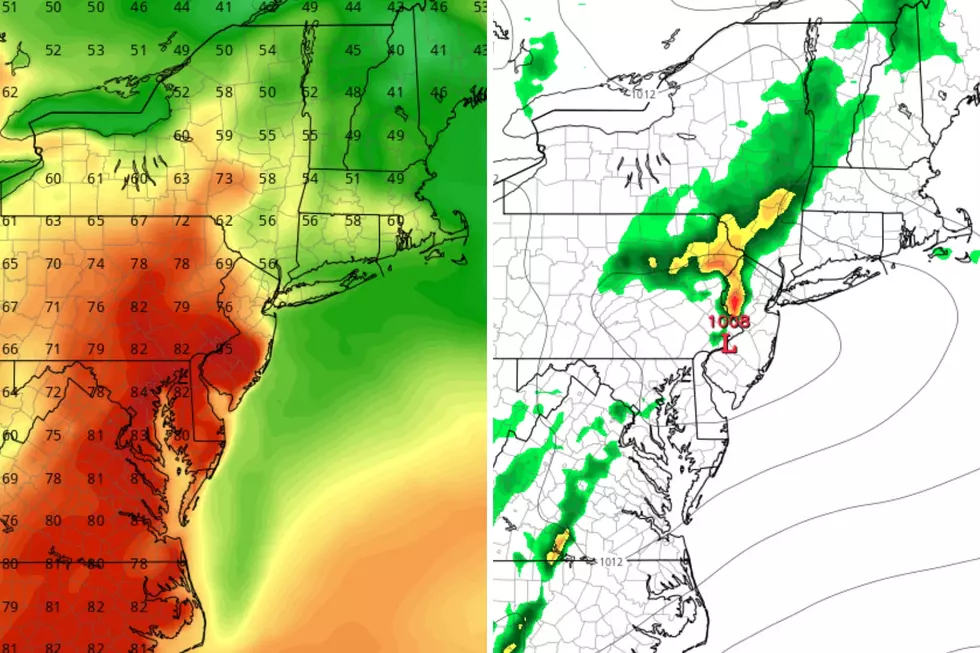
This weekend's inclement, wet weather unfortunately caused the cancellation of numerous holiday events. But hydrologically, we did need the rain — many spots picked up over an inch between Friday and Saturday.
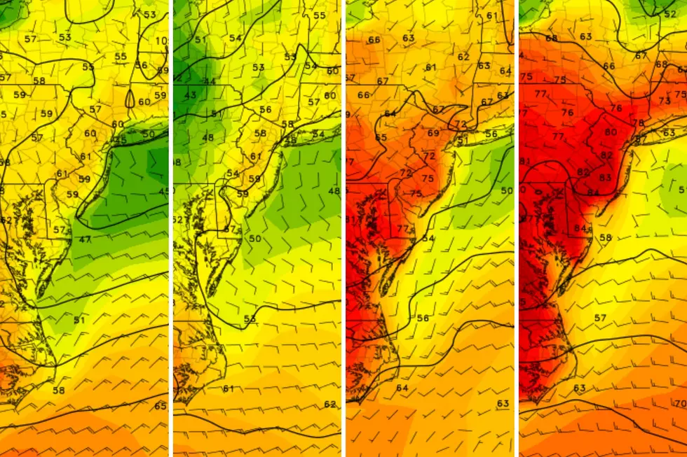
The big weather story of the week is another burst of chilly air, causing NJ temperatures to tumble again. It is going to feel January-ish again, for a few days at least, with high temps mainly in the 40s.
The big challenge of the week is figuring out if and when rain/snow showers will come into play. No widespread rain appears in the forecast until about Sunday, almost a week away. And there is no significant snow on the horizon — for the next 7 to 10 days, at least.

Monday
As of Monday morning, we are still drying out from Sunday's sog-fest. There are some pockets of fog and mist around. And wet roads too.
We will see some good breaks of sun Monday, mixed with cloudy periods. There is a chance of a sprinkle or shower late-day, but raindrops will be limited.
Temperatures are starting in the 40s Monday morning, rising into the lower 50s Monday afternoon. That is seasonable, near-normal for early December.
Colder air will start to come into play Monday night. In fact, it might get a bit frosty in spots. Under mainly clear skies, low temperatures will dip into the mid 30s.
Tuesday
Definitely colder. Just how chilly it "feels" will largely depend on how much sunshine peeks through. There will be a "clipper" type storm system approaching from the west, but I am betting on minimal impacts for the Garden State.
I will call it a partly sunny day. Once again, a few sprinkles or flurries can not be ruled out. Mainly in the southern portion of the state, late in the day. The precipitation type will be largely based on timing — raindrops before sunset, snowflakes after. Little to no accumulation or travel impacts are expected though.
High temperatures Tuesday will be limited to the mid 40s. Decidedly below seasonal normals for this time of year.
Wednesday
Chilly and dry. We will be fully entrenched in our new cold air mass on Wednesday, with high pressure building overhead. That will keep precipitation chances low and winds light. But temperatures will be cold.
Following a likely early morning freeze, highs on Wednesday will only reach the lower 40s or so. Once again, skies should be relatively bright, with fair-weather clouds popping through.
Thursday
Thursday will be the bottom of the barrel, the coldest day of the week.
I expect widespread 20s Thursday morning, away from coastal and urban areas. Highs will barely reach the 40-degree mark. As we have discussed, that is typical for the "dead of winter" — the coldest part of the year, in mid to late January. Back to bundling up, New Jersey.
Friday & Beyond
As the weekend approaches, temperatures will start to moderate on a southwesterly wind. 50-ish Friday. Mid 50s Saturday should make for a nice start to the weekend.
60s are a possibility on Sunday. But that will also be the approximate timing of our next storm system, a strong cold front that will spark some pouring rain and then another cooldown.
I do not want to dig into the exact timing of that front and rain chance just yet. It is obviously something we will watch carefully.
I will tell you there are no significant snow chances on the horizon, for the next 7 to 10 days at least. That is not that unusual for the first half of December — the ground remains unfrozen, and those normal highs are around 50. Don't worry, snow lovers — winter is coming.
Glossary of NJ winter weather words and phrases
Gallery Credit: Dan Zarrow
Dan Zarrow is Chief Meteorologist for Townsquare Media New Jersey. Follow him on Facebook for the latest forecast and realtime weather updates.
Christmas snow - When it's happened, and the 2023 odds for NJ
Gallery Credit: Mike Brant
More From WPG Talk Radio 95.5 FM
