
NJ weather: Rain and snow exit, sunshine and cold air return
The Bottom Line
So far, this sloppy, soggy cold front has progressed close to expectations. Everyone in NJ has seen at least an inch of rain, with over 3 inches across inland South Jersey. Winds were fortunately not as fierce as predicted, with top gusts just under 40 mph. And things are still trending inclement, as rain and snow linger for a few more hours Monday morning.
Once the precipitation machine shuts off, sunshine will emerge quickly. And quiet, cool weather resumes. Temperatures through the middle of this week will trend slightly below normal, with highs in the 40s. Then we moderate closer to 50 degrees by the weekend.
With just two weeks to go until Christmas Day, there are no significant snow storms on the horizon. In fact, our next chance of rain doesn't come along until the end of next weekend, Sunday into Monday.

Monday
Your Monday morning commute is going to be tricky, as rain continues to fall. And even pour in spots. Watch out for big puddles — ponding and flooding has caused a few road closures and detours.
We are carefully watching the thermometer Monday morning, which is flirting with the freezing mark. Especially (but not exclusively) in Sussex, Warren, Morris, and Hunterdon counties. A brief transition to wintry mix or straight snow is likely for some. I do not think we face any real "accumulation" on the wet ground. But things could get slushy and slippery for a bit.
10 a.m. should be the grand turning point Monday morning, when we finally dry out completely and skies begin to clear.
After that, increasing sunshine will carry through the midday and afternoon hours. It will be breezy, but not really gusty. And temperatures will settle in the mid 40s Monday afternoon — a far cry from those widespread 60s just 24 hours prior. The wind chill ("feels like" or "apparent" temperature) will probably be stuck in the 30s.
Monday night will be clear and calmer, with chilly temperatures around 30 degrees. Most of the state should experience a light freeze by Tuesday morning.
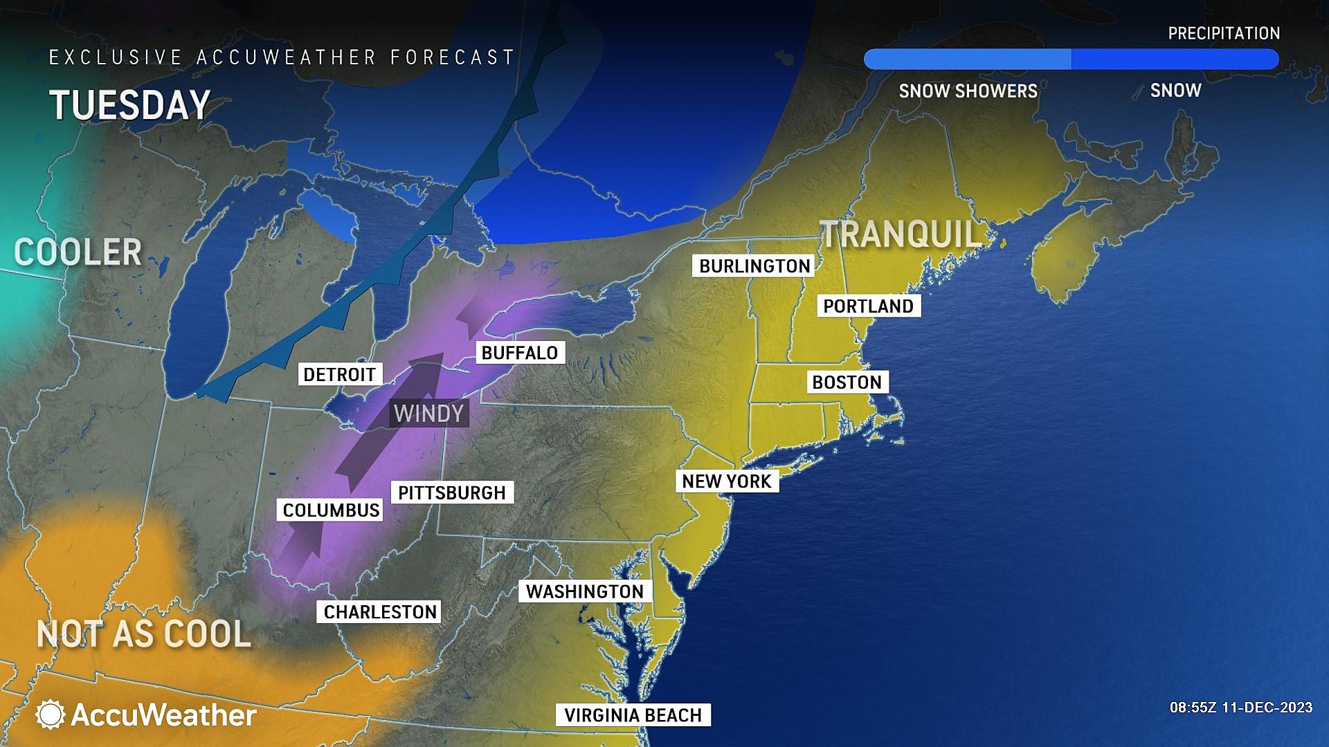
Tuesday
High pressure builds in, keeping our weather quiet and cool.
Highs on Tuesday will reach about 40 to 45 degrees. Only a few degrees below normal for mid-December. Expect sunny skies and a light southwesterly breeze.
Wednesday
A weak cold front will pass over New Jersey early Wednesday. It looks dry, and will only serve to reinforce our cold, dry air mass.
With a few clouds overhead and an occasional chilly breeze, high temperatures should hold steady around the lower 40s.
Thursday
More of the same. Sunshine and lower 40s. That's it.
Friday & Beyond
A subtle warming trend should kick in for Friday and Saturday, sending highs closer to 50 degrees. Not too shabby for mid-December, especially if we can tap into abundant sunshine.
Forecast models show a potential storm system in the neighborhood around the late Sunday to early Monday time frame. The GFS paints another inch-plus of rain, while the Euro has this area of low pressure diving well south of NJ. I wouldn't sweat it for now — we will have better clarity by the middle of the week.
LOOK: One NJ Christmas town you need to check out
Gallery Credit: Dennis Malloy
Christmas snow - When it's happened, and the 2023 odds for NJ
Gallery Credit: Mike Brant
More From WPG Talk Radio 95.5 FM


