NJ Weather: Warming into the 50s Friday, 60s This Weekend
The Bottom Line
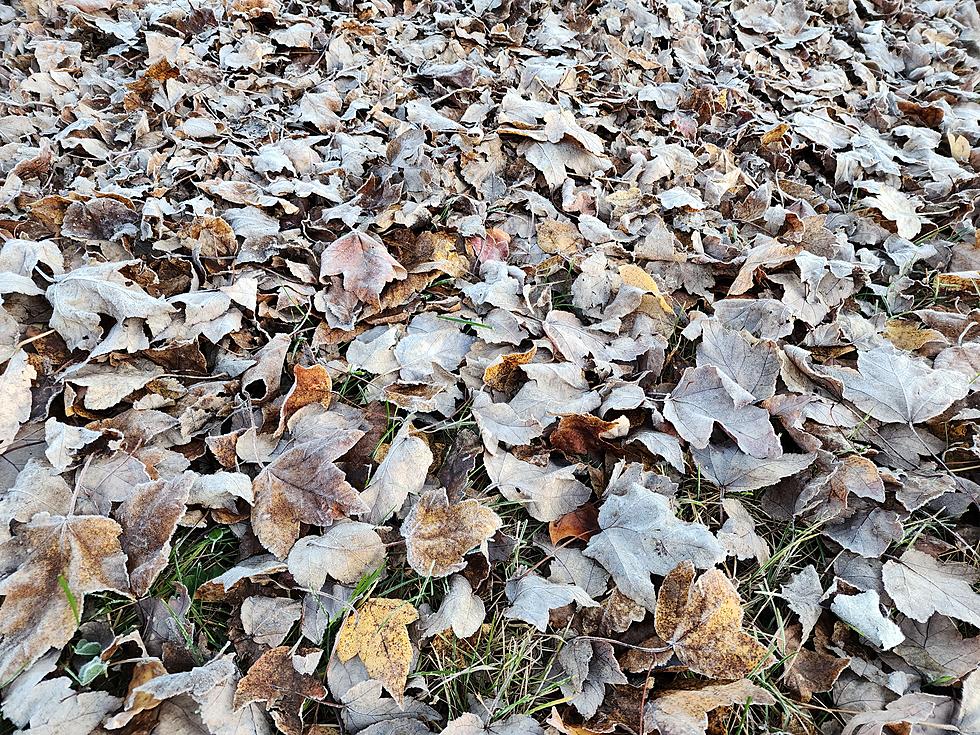
Thursday was a cold day. We actually set a record low temperature Thursday morning at Trenton-Mercer Airport, at 27 degrees. (Previous record for 11/2 was 29 degrees in 1983.) It was a chilly afternoon too, as many spots did not even reach 50 degrees.
We will start to dig out of the December-ish chill on Friday, with even warmer temperatures expected for the weekend. I have had to temper the warmup a bit into early next week — I'm not so sure we'll hit 70 degrees, after all.
Meanwhile, we might just break the streak. After eight weekends in a row, rain chances are low — although not zero — for the first weekend of November. We will lose the brilliant sunshine, but our weather looks pretty pleasant.
Things turn unsettled and temperatures will be tumultuous for the second half of next week.

Friday
Technically, Friday morning is a few degrees warmer than Thursday morning. But, for all intents and purposes, it is an unseasonably cold start to the day. With temperatures in the 20s and 30s, you'll be bundling up a bit before heading out the front door. And you may have to warm up the car for a few minutes to take care of a frosty windshield.
Despite the chilly start, we will see improvements into Friday afternoon. With blue skies and sunshine, dry weather, and a light southwesterly breeze, thermometers will rise into the mid 50s. That is about 5 degrees warmer than Thursday. But still about 5 degrees below normal for early November.
Clouds will start to increase around mid-afternoon, thickening up even more Friday night. That sky blanket "tucking us in" will prevent temperatures from nosediving overnight. I'm thinking we will bottom out around 40 degrees Saturday morning — there will be patches of frost, but it will not be another widespread freeze.
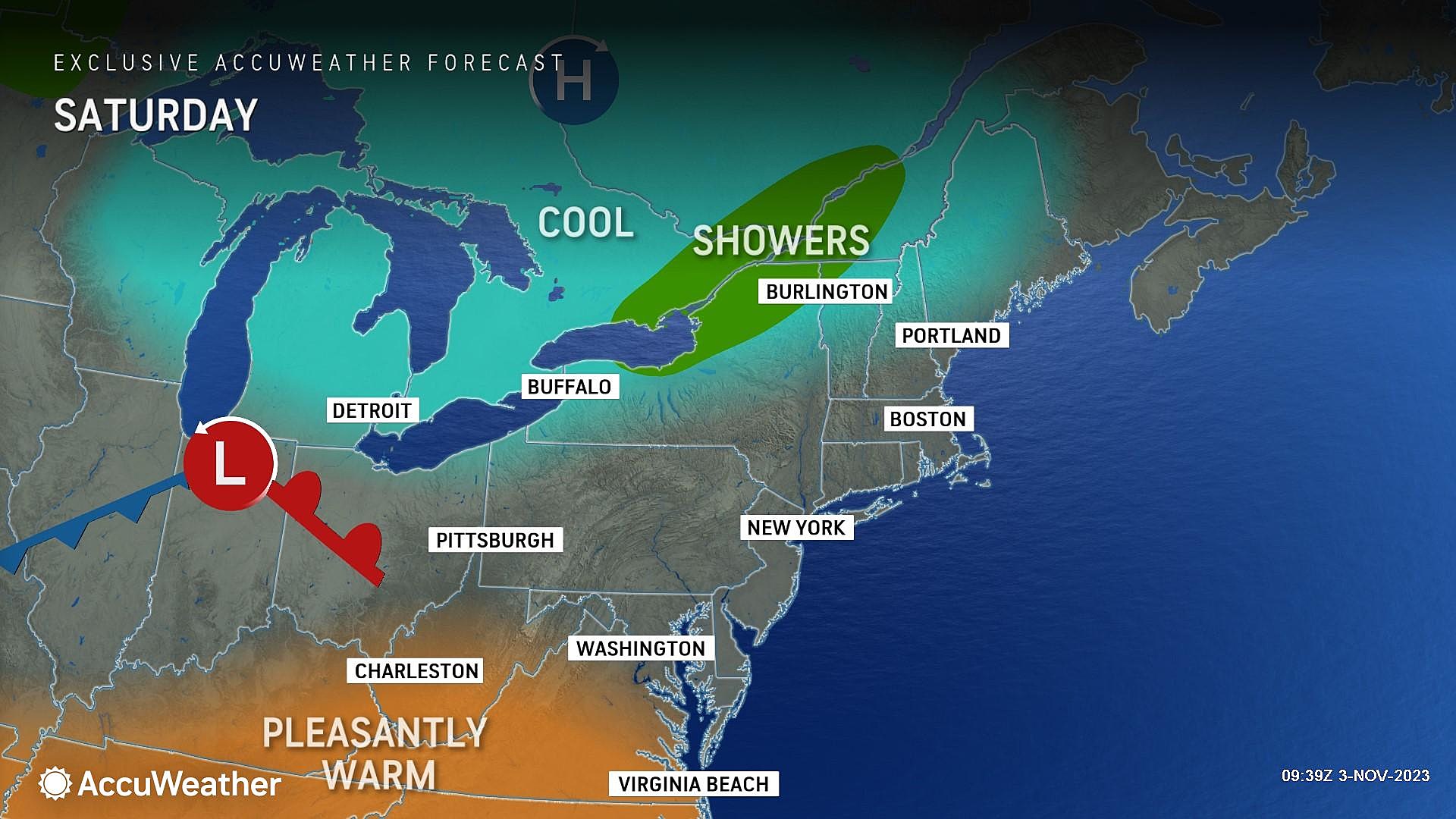
Saturday
Overall, a pleasant November day.
We will have to contend with abundant cloud cover overhead Saturday, but there will be peeks of sun too. High temperatures will push even higher, to around 60 to 65 degrees by Saturday afternoon. Not exactly warm, but seasonably mild.
The chance of a midday raindrop is not zero, but it is very low. One or two model runs have painted some spotty sprinkles over the state. But I really think high pressure and dry air will win out, keeping the day dry across the Garden State.
Sunday
Sunday morning, I will include a chance of a brief shower or sprinkle, mainly to the north. Otherwise, it will be another decent November day.
Skies should brighten up a bit by Sunday afternoon. And high temperatures hold steady, around the lower 60s.
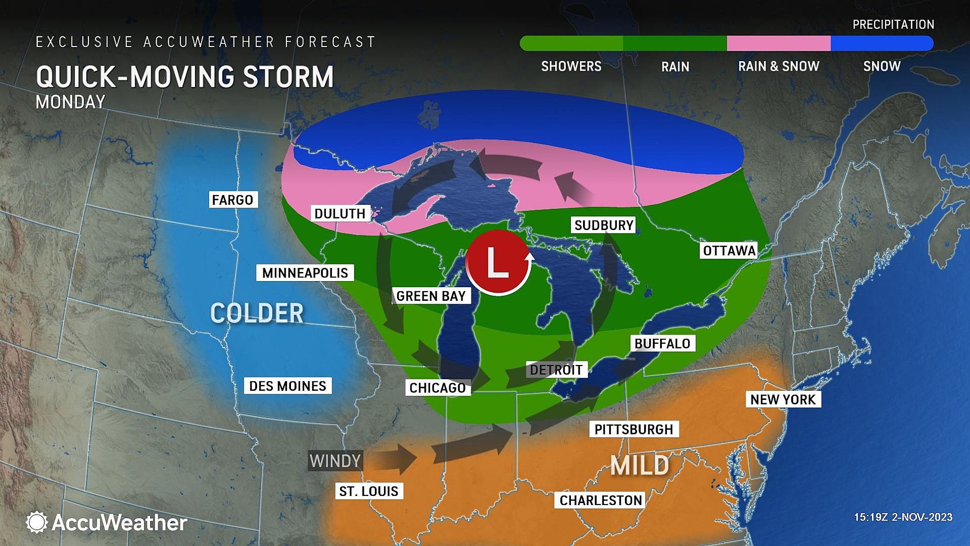
Monday
There's also not much to complain about in Monday's forecast. Partly sunny and seasonable, with highs around 60 degrees.
(Note: I had previously suggested 70 degrees was possible early next week. The forecast has cooled a bit according to the latest guidance.)
The Extended Forecast
A cold front will sweep through the state on Tuesday, marking the beginning of an unsettled period of weather. A quick, light shower may accompany a brief burst of wind on Tuesday. But by the numbers, Tuesday will still be a mild day, with widespread highs in the 60s.
Wednesday turns about 10 degrees cooler, descending into the 50s. A batch of scattered rain showers is possible from Wednesday into early Thursday too. Previous model runs had painted some wet snowflakes over northern New Jersey during this period of unsettled weather — something we will have to watch as it gets a bit closer.
LOOK: Best counties to raise a family in New Jersey
Gallery Credit: Stacker
LOOK: Cities with the most expensive homes in New Jersey
Gallery Credit: Stacker
More From WPG Talk Radio 95.5 FM


