60 Degrees Today, More Rain This Weekend
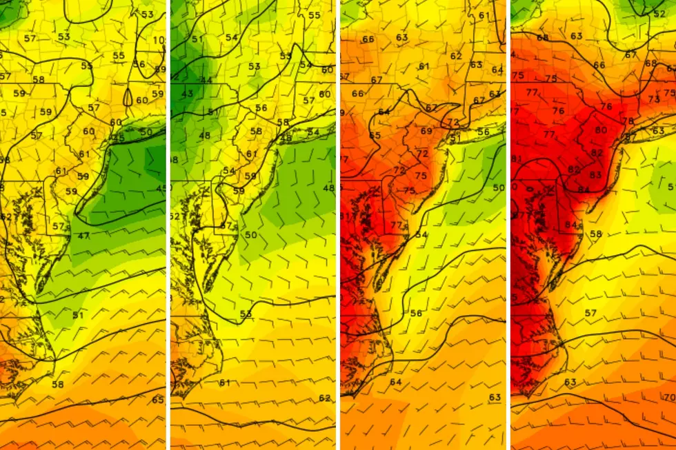
Despite morning fog and scattered showers, thermometers across New Jersey will make a run for 60 degrees today, with more comfortable weather expected in the days ahead.
Here are your weather headlines for Wednesday, March 11, 2015...
Today: 60?
All week long, I’ve been promising that today will be the warmest day of the week. I maintain that forecast, but I’m a little concerned about this morning’s fog, drizzle, and clouds keeping temperatures down a bit. (I trended my “official” forecast down a few degrees.)
However, if we break into sun this afternoon or even late morning, I’m thinking mid 60s will be possible in South Jersey today. Nice!
In either case, once the fog lifts and the clouds start to thin out, today should be a really pleasant day. So nice, in fact, that I decided to break out the short-sleeved shirt for the first time this spring season!
Rest of the Week: Quiet, Comfortable
As high pressure builds in tomorrow, we'll see a couple of “boring” days, with quiet weather and comfortable temperatures. While Thursday won’t be as warm as Wednesday, a high of around 50° will still be quite nice, and is right on the average for mid-March. Friday will also top out around 50° (give or take a few degrees). However, increasing clouds and a chance for showers by late afternoon or evening on Friday could impact your opinion of the day overall.
Be aware that with this area of high pressure, clear skies and calm winds will lead to some chilly mornings. Thursday morning, there will be numerous places in the northern and even the central part of the state that will see a light freeze (about 30°). Friday morning looks even colder, with a widespread freeze. A hard freeze (below about 27° will be possible in the coldest spots). I wouldn't start that spring gardening just yet... Or at least be prepared to cover your seedlings at night, as they are not robust enough to handle that cold.
Weekend: Washout?
Our next storm system will arrive Friday night through the weekend. The good news? Temperatures remain warm enough for most of this system’s precipitation to remain rain. The bad news? The rain looks to persist for much of the weekend, making for a potential washout.
Our first raindrops look to fall Friday, maybe as early as late afternoon in South Jersey, and then spreading northward through the evening hours. The heaviest rain looks to come on Saturday morning through midday, from about 2 a.m. to about Noon. I’m a little concerned about heavy rain making for messy travel on Saturday. There’s also a somewhat-significant flooding chance for Saturday given the heavy rain, particularly on rivers due to ice melt and runoff.
Current models show the rain will at least slow down by Saturday evening. For Sunday, however, we look to still have some scattered showers to deal with. And as temperatures on Sunday will be a bit cooler than Saturday (especially in the morning), some of that shower activity could fall as snow or wintry mix, especially in North Jersey (above I-78). One model puts North Jersey’s total snow accumulation at 1 inch by Sunday night. Uh-uh. No way. It’s just going to be too difficult for any snow to stick, since the ground will be so wet and so warm. And with highs on Sunday in the 40s, the snow will turn to rain anyway.
We’re definitely not out of the woods for cold and snow yet this season, but this weekend will be wet - not wintry.
More From WPG Talk Radio 95.5 FM


