State of Emergency in NJ for Isaias, tornado watch until 4 p.m.
Gov. Phil Murphy late Monday issued a state of emergency declaration, effective at 5 a.m. Tuesday, in anticipation of Isaias — the severe storm climbing the East Coast and expected to hit the Garden State that day.
This post was most recently updated at 10:05 a.m. Tuesday.
As of Tuesday morning, a tornado watch was in effect for all of New Jersey, expiring at noon for some areas and 4 p.m. for others. Several areas in and near New Jersey were briefly under tornado warnings — suggesting a more imminent threat of a tornado — at several points early Tuesday.
A warning for areas in Cape May County was set to expire at 10:15 a.m. A warning for part of Cumberland County expired at 9:45 a.m.
New Jersey 101.5 Chief Meteorologist Dan Zarrow predicted the storm — upgraded to a hurricane as it approached the Carolinas late Monday, but now once again a tropical storm — would hit New Jersey between 9 a.m. and 7 p.m. Wind and flooding remained top concerns.
"It is going to be a nasty day," he wrote in his daily forecast. "And potentially dangerous, especially given the intense wind gust. And the burst of rain would be great either. You really don't want to be 'out and about' during the brunt of the storm. Please stay smart and be safe out there."
Murphy asked in a tweet that residents stay off the road unless absolutely necessary.
"If you MUST drive, take it slow, use caution, and leave extra time to get to your destination," he said.
A state of emergency does not, in itself, put travel restrictions into effect. The declaration is used to mobilize resources and qualify for certain funding. But roadways may be hazardous as the storm hits New Jersey, with its eventual intensity still unclear.
Murphy closed all state offices on Tuesday, including MVC licensing centers, vehicle centers, road test operations, and headquarters.
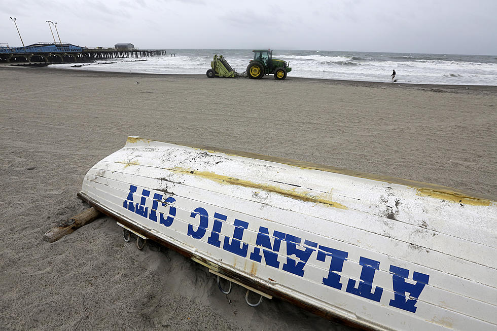
The Department of Environmental Protection closed all state parks, historic sites, wildlife management areas and natural areas. Campgrounds were also cleared out starting at daybreak. Gateway National Park at Sandy Hook closed Tuesday and no swimming was to be allowed be allowed at Riis Park Beach and Great Kills Park. Lifeguards will not be on duty.
Seastreak canceled all service on Tuesday due to the storm and said it would resume service on Wednesday. New York Waterway was suspending operations at noon. The last trips back for Port Imperial, Hoboken North, Lincoln Harbor and Hoboken/Brookfield will be at 11:50 a.m., the operator said.
The Cape May-Lewes Ferry was running a limited schedule on Tuesday, with sailings at 10:30 a.m., 12:15 p.m., 2:30 p.m. and 4:15 p.m. canceled.
NJ Transit planned running a regular schedule Tuesday and encouraged riders to monitor its app and social media for possible service disruptions due to the storm.
Power outages were minimal in New Jersey on Tuesday morning as of 8:15 a.m. but utilities said they were ready for restoration efforts.
JCP'L spokesman Cliff Cole said the utility has secured additional resources to assist in the areas expected to be impacted and was setting up staging sites around the state.
"FirstEnergy has coordinated with contractors and electric industry mutual assistance organizations to secure additional resources to assist with storm restoration efforts should they be needed," Cole said.
"Tropical Storm Isaias has the potential to significantly impact our area," PSE&G said in a statement. The utility company was preparing for the possibility of long outages.
Zarrow said Monday night a storm surge was possible along the Jersey Shore, but said that wasn't the Garden State's "biggest concern."
"The official (National Hurricane Center) forecast calls for '1 to 3 feet,'" Zarrow wrote on Facebook. "I'm leaning toward the lower end of that range, for two reasons: 1) The strongest winds will blow from the south, not directly on-shore from the east. 2) The peak of the storm will NOT coincide with high tide on the ocean tomorrow (9 a.m. and 9 p.m.).
"Minor category coastal flooding is still likely at high tide. We'll especially have to watch beaches with a more southern exposure (Cumberland, Cape May, Atlantic counties). Back bays too," Zarrow wrote.
By then, thunderstorms had already progressed north into Burlington, Ocean, and Monmouth counties, he said.
Zarrow said late Monday the storm seemed to be coming on faster than previously expected, with "a slightly earlier mid-morning arrival time of the 'brunt' in (southwest New Jersey) and maybe even kicking out most of the rain and the worst wind by dinnertime."
"That would be great news. The shorter Isaias's visit (Tuesday), the better," he said.
Get breaking news weather alerts on the New Jersey 101.5 app, free for Android and Apple devices.
— Includes information from the Associated Press
Isaias' Impact on New Jersey
More From WPG Talk Radio 95.5 FM