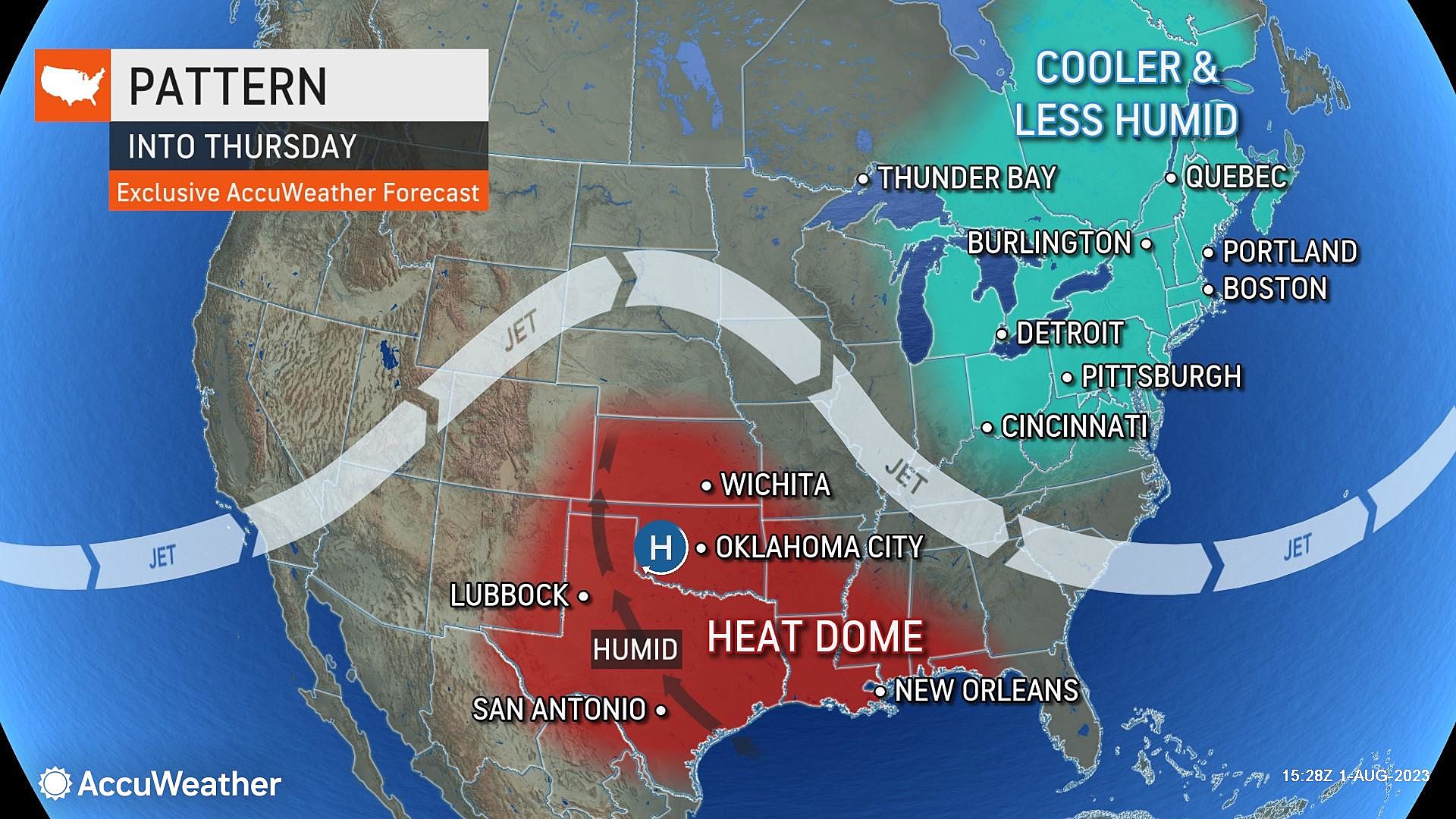
A Taste of September For NJ: Sunshine, Dry Air, Below-normal Temps
The Bottom Line
Don't you love being able to walk outside, in early August, and take a nice, deep breath of refreshing, not-humid air?
Wednesday will be the 4th day in a row of gorgeous weather. And we should squeeze out a 5th on Thursday, although humidity, temperatures, and cloud cover will be on the rise.
Normal temperatures — the long-term, smoothed averages — range from the upper 60s in the morning to mid 80s in the afternoon. (We are still in the warmest stretch of the year, on average.) I am still making the case that it's going to feel more like mid-September weather, when normal lows are near 60 and normal highs are limited to the upper 70s. You can call it typical of early June too, which is about the same.
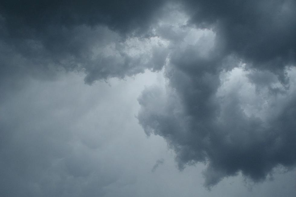
There is one and only one not-nice period of weather in the forecast: Friday. Scattered thunderstorms could be a problem. We may have to ring alarm bells for downpours and severe weather.
If all goes well, the weekend will bring a return of fair weather and seasonably warm temperatures. Not too shabby for the first weekend of August.

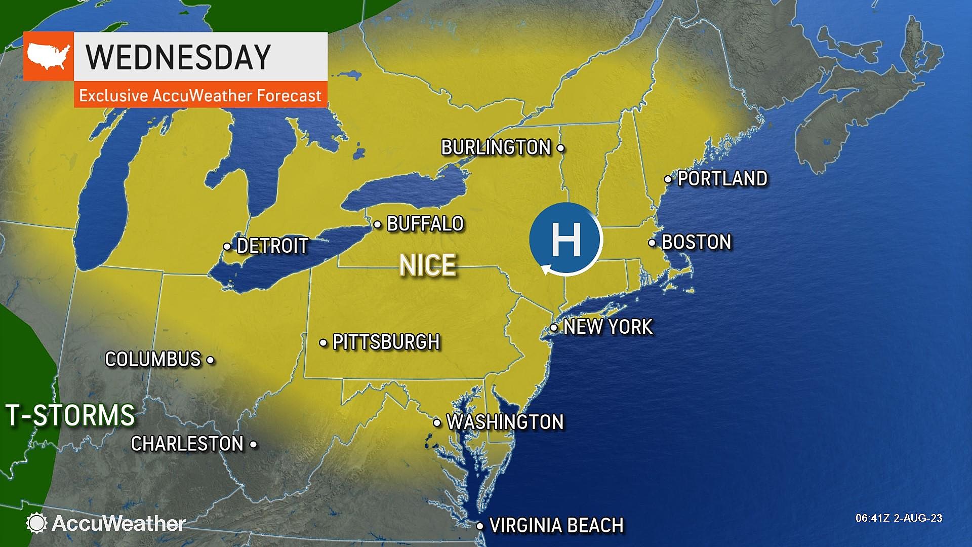
Wednesday
Early Wednesday morning, Walpack in Sussex County fell to 45 degrees. That is pretty chilly for early August! And it is the coldest temperature there since June 19th.
Most of the state is waking up to cool 50s, with 60s along the Jersey Shore. Those thermometers will rise quickly by mid-morning, an effect of dry air. We will top out around the upper 70s to 80 Wednesday afternoon. Definitely below our early August normal highs in the mid 80s. But still warm and pleasant.
Skies will be bright and sunny, and our weather will stay completely dry.
One item worth mentioning: A Coastal Flood Advisory has been issued for the Jersey Shore for Wednesday evening's high tide cycle. Coming off the full moon, a little bit of swell is just enough to push tide levels over minor flood stage. So vulnerable places along tidal waterways — the "usual spots" — could see some minor water inundation issues.
Wednesday night will be comfortable and quiet again. With a few clouds in play, it should not be as cold as the night before. Look for lows on either side of 60 degrees.
Thursday
Thursday will be a day of transition. But I am not favoring pleasant weather continuing through the daytime hours.
You may notice humidity tick up slightly on Thursday, making the air a little stickier. (A far cry from last week's tropical air though.) It will be partly sunny and breezy. Warmer too, with highs bumping back into the lower 80s.
Thursday morning and afternoon look completely dry. In fact, forecast models don't ramp up rain chances until late night. We could see some showers and thunderstorms develop, but probably not until Midnight or later.
Friday
Friday is going to be an unsettled day. Iffy for outdoor plans, but you will find pockets of dry (although cloudy) weather around.
Friday morning looks like the driest, calmest part of the day. Humidity levels will continue to rise. And skies will become mostly cloudy to overcast.
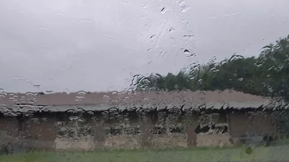
Strong thunderstorms could be an issue, especially during Friday's "PM hours". Downpours could lead to ponding and flooding issues. And the atmosphere will be more conducive to severe weather (wind, hail, tornado) too. (One model — the Euro — is still pushing out pockets of 1-2" of rain.)
Temperatures will be muted by the clouds and rain. I'm putting my forecast high temp around 80 degrees. But realistically, wetter, stormier spots could be stuck in the 70s all day, at best.
The Weekend & Beyond
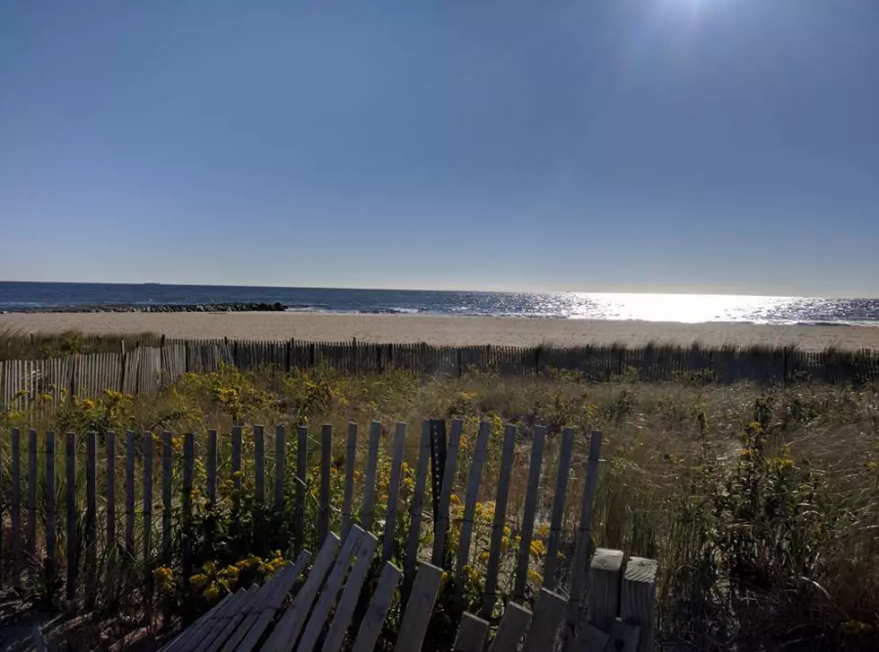
The chance of spotty showers lingering into Saturday morning is not zero. The chance of an additional shower clipping NW NJ late Sunday is not zero. However, as a whole, the forecast for the first weekend of August is looking great.
With a mix of sun and clouds, temperatures will be seasonably warm. Meaning mid-upper 60s in the morning, mid 80s in the afternoon. Winds will be light and humidity levels no higher than "moderate". There is very little to complain about here — beaches and backyards will once again be very popular, I am happy to say!
Steamy humidity and thunderstorms look to make a comeback early next week. That will be the pattern through the middle of August: Seasonably warm temperatures and occasional thunderstorms, with no major storm systems or heat waves on the horizon.
You Picked Them: The 12 Most Hated Roads in New Jersey
Fore! The Absolute Best Mini Golf Courses at the Jersey Shore
More From WPG Talk Radio 95.5 FM