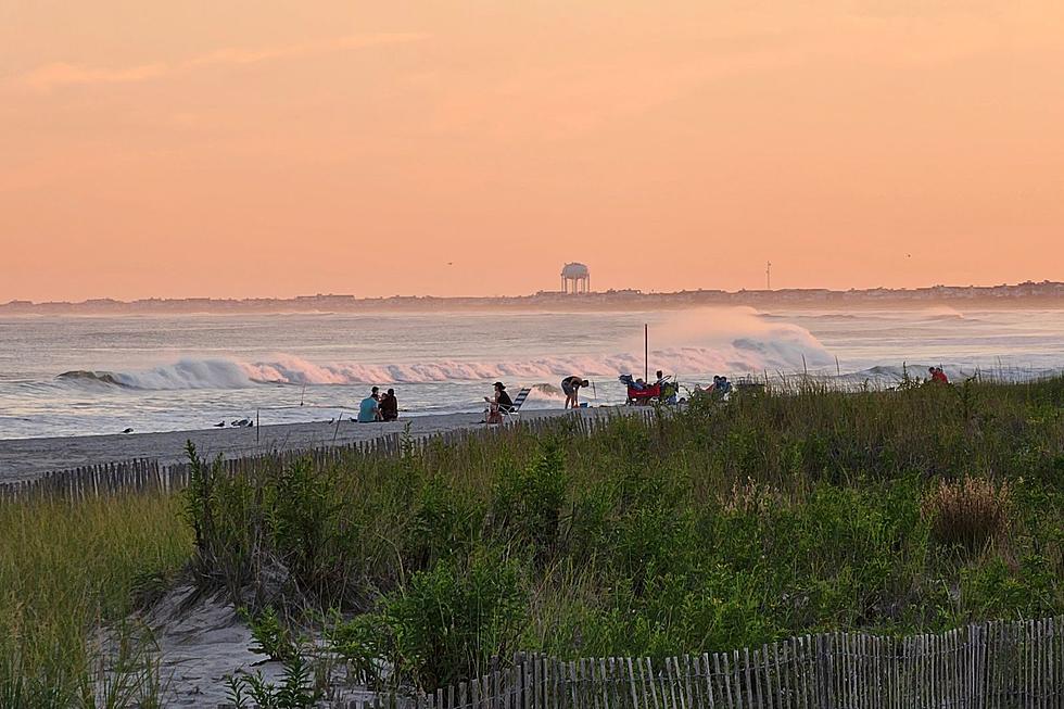
NJ beach weather and waves: Jersey Shore Report for Thu 9/14
Advisories
HIGH RISK OF RIP CURRENTS. Dangerous swimming and surfing conditions and localized beach erosion. Rip currents can sweep even the best swimmers away from shore into deeper water. Inexperienced swimmers should remain out of the water due to dangerous surf conditions.
SMALL CRAFT ADVISORY until 6 a.m. Saturday. Inexperienced mariners, especially those operating smaller
vessels, should avoid navigating in hazardous conditions.
At the Shore
Current conditions and forecast as of Thu morning
| Rip Current Risk | High |
|---|---|
| Waves | 2 - 5 feet |
| Winds | From the South 7 - 12 mph (Gust 18 mph) 6 - 10 knots (Gust 16 knots) |
| Ocean Temperature | 73° - 79° (Normal 72° - 76°) |
| Air Temperature | 78° - 82° |
| Sunrise/Sunset | 6:36am - 7:10pm |
| UV Index | 6 (High) |
Tide Times
| SANDY HOOK Sandy Hook Bay | High Thu 8:10a | Low Thu 2:15p | High Thu 8:18p | Low Fri 2:44a | |
| LONG BRANCH Atlantic Ocean | High Thu 7:44a | Low Thu 1:39p | High Thu 7:52p | Low Fri 2:08a | |
| MANASQUAN INLET Atlantic Ocean | High Thu 7:58a | Low Thu 1:51p | High Thu 8:06p | Low Fri 2:20a | |
| SEASIDE HEIGHTS Atlantic Ocean | High Thu 7:40a | Low Thu 1:43p | High Thu 7:48p | Low Fri 2:12a | |
| SEASIDE PARK Barnegat Bay | Low Thu 6:13a | High Thu 11:50a | Low Thu 6:20p | High Thu 11:58p | |
| BARNEGAT INLET Barnegat Bay | High Thu 8:02a | Low Thu 2:08p | High Thu 8:10p | Low Fri 2:42a | |
| MANAHAWKIN BRIDGE Manahawkin Bay | Low Thu 5:47a | High Thu 10:57a | Low Thu 5:54p | High Thu 11:05p | |
| LITTLE EGG INLET Great Bay | High Thu 8:52a | Low Thu 2:43p | High Thu 9:05p | Low Fri 3:16a | |
| ATLANTIC CITY Atlantic Ocean | High Thu 7:52a | Low Thu 1:48p | High Thu 8:01p | Low Fri 2:20a | |
| OCEAN DRIVE BRIDGE Townsends Inlet | High Thu 8:16a | Low Thu 2:10p | High Thu 8:32p | Low Fri 2:44a | |
| WILDWOOD CREST Atlantic Ocean | High Thu 7:56a | Low Thu 1:56p | High Thu 8:11p | Low Fri 2:25a | |
| CAPE MAY Delaware Bay | High Thu 8:56a | Low Thu 2:48p | High Thu 9:10p | Low Fri 3:18a |
Marine Forecast
From the National Weather Service, Mt. Holly
SMALL CRAFT ADVISORY IN EFFECT THROUGH LATE FRIDAY NIGHT
TODAY: N winds 10 to 15 kt. Seas 4 to 7 ft. SE swell 3 to 6 ft at 12 seconds.
TONIGHT: N winds 10 to 15 kt, increasing to 15 to 20 kt after midnight. Seas 4 to 7 ft, building to 6 to 9 ft after midnight. SE swell 4 to 7 ft at 13 seconds.
FRI: N winds 20 to 25 kt, diminishing to 15 to 20 kt in the afternoon. Seas 8 to 11 ft. SE swell 5 to 10 ft at 13 seconds.
FRI NIGHT: N winds 15 to 20 kt with gusts up to 25 kt. Seas 8 to 11 ft. SE swell 6 to 10 ft at 14 seconds.
SAT: NW winds 20 to 25 kt, diminishing to 15 to 20 kt in the afternoon. Seas 6 to 9 ft, subsiding to 5 to 7 ft in the afternoon. E swell 4 to 8 ft at 13 seconds.
SAT NIGHT: NW winds 15 to 20 kt, diminishing to 10 to 15 kt after midnight. Seas 4 to 6 ft. E swell 2 to 5 ft at 12 seconds.
SUN: W winds around 10 kt, becoming SW. Seas 2 to 3 ft.
MON: W winds around 10 kt, becoming NW after midnight. Seas 2 to 3 ft.
Plan Your Trip
Data on this page amalgamated from several sources, including the National Weather Service (weather), National Ocean Service (tides), U.S. Naval Observatory (sun), and the U.S. Environmental Protection Agency (UV index).
Dan Zarrow is Chief Meteorologist for Townsquare Media New Jersey. The Shore Report is generated semi-automatically daily at 5 a.m. from mid-May to late September. Follow Dan's weather blog, Facebook page, and Twitter feed for your latest forecast and realtime weather updates.
It's Time We End these 5 Outdated New Jersey Beach Rules
5 Fantastic Dog-Friendly Beaches in New Jersey
Cliffwood Beach: New Jersey's lost and forgotten resort destination
More From WPG Talk Radio 95.5 FM