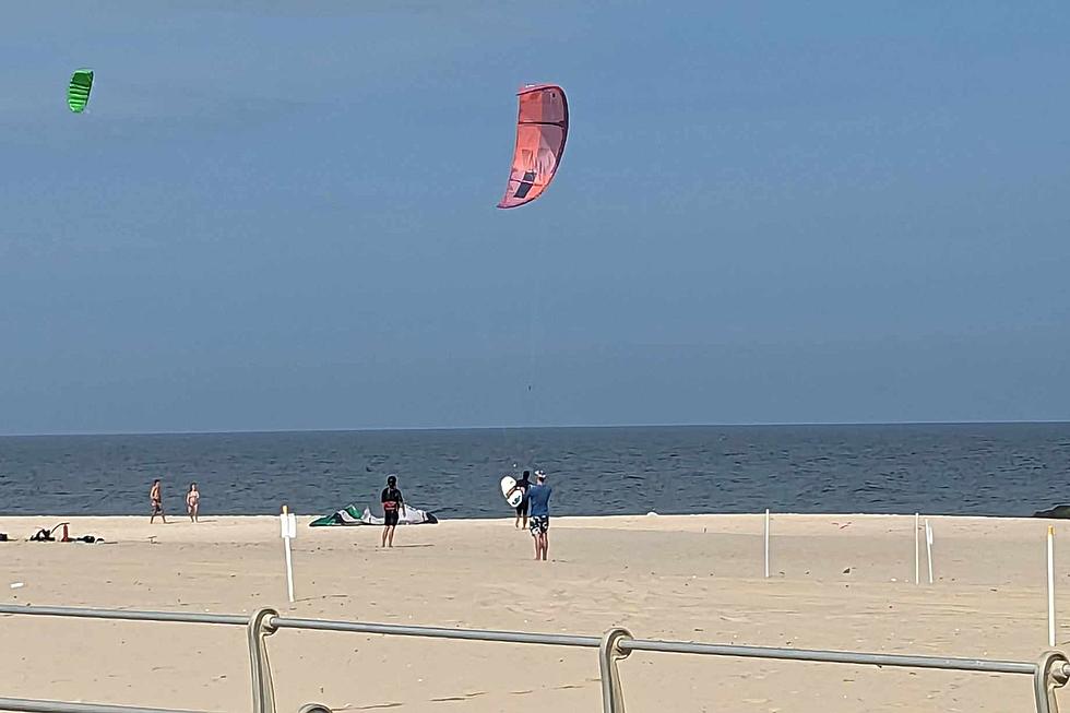
NJ beach weather and waves: Jersey Shore Report for Tue 8/8
Advisories
SMALL CRAFT ADVISORY in effect between noon and 8 p.m. Inexperienced mariners, especially those operating smaller vessels, should avoid navigating in hazardous conditions.
At the Shore
Current conditions and forecast as of Tue morning
| Rip Current Risk | Low |
|---|---|
| Waves | 2 - 4 feet |
| Winds | From the West 14 - 23 mph (Gust 31 mph) 12 - 20 knots (Gust 27 knots) |
| Ocean Temperature | 71° - 76° (Normal 72° - 82°) |
| Air Temperature | 78° - 82° |
| Sunrise/Sunset | 6:00am - 8:04pm |
| UV Index | 8 (Very High) |
Tide Times
| SANDY HOOK Sandy Hook Bay | Low Tue 7:54a | High Tue 2:18p | Low Tue 8:52p | High Wed 2:39a | |
| LONG BRANCH Atlantic Ocean | Low Tue 7:18a | High Tue 1:52p | Low Tue 8:16p | High Wed 2:13a | |
| MANASQUAN INLET Atlantic Ocean | Low Tue 7:30a | High Tue 2:06p | Low Tue 8:28p | High Wed 2:27a | |
| SEASIDE HEIGHTS Atlantic Ocean | Low Tue 7:22a | High Tue 1:48p | Low Tue 8:20p | High Wed 2:09a | |
| SEASIDE PARK Barnegat Bay | High Tue 5:25a | Low Tue 11:59a | High Tue 5:58p | Low Wed 12:57a | |
| BARNEGAT INLET Barnegat Bay | Low Tue 7:58a | High Tue 2:11p | Low Tue 8:54p | High Wed 2:36a | |
| MANAHAWKIN BRIDGE Manahawkin Bay | Low Tue 11:33a | High Tue 5:05p | Low Wed 12:31a | High Wed 5:26a | |
| LITTLE EGG INLET Great Bay | Low Tue 8:29a | High Tue 3:05p | Low Tue 9:21p | High Wed 3:21a | |
| ATLANTIC CITY Atlantic Ocean | Low Tue 7:29a | High Tue 1:56p | Low Tue 8:25p | High Wed 2:19a | |
| OCEAN DRIVE BRIDGE Townsends Inlet | Low Tue 7:50a | High Tue 2:24p | Low Tue 8:45p | High Wed 2:41a | |
| WILDWOOD CREST Atlantic Ocean | Low Tue 7:36a | High Tue 2:08p | Low Tue 8:32p | High Wed 2:29a | |
| CAPE MAY Delaware Bay | Low Tue 8:30a | High Tue 3:04p | Low Tue 9:25p | High Wed 3:29a |
Marine Forecast
From the National Weather Service, Mt. Holly
TODAY: SW winds 10 to 15 kt with gusts up to 20 kt, becoming W 15 to 20 kt with gusts up to 25 kt late. Seas 3 to 4 ft. S swell 2 to 4 ft at 5 seconds. A chance of showers and tstms early this morning.
TONIGHT: W winds 15 to 20 kt with gusts up to 25 kt. Seas 3 to 4 ft. SE swell 2 to 3 ft at 6 seconds.
WED: W winds 15 to 20 kt with gusts up to 25 kt, diminishing to around 10 kt in the afternoon. Seas 2 to 4 ft. SE swell around 2 ft at 7 seconds.
WED NIGHT: W winds 5 to 10 kt. Seas 2 to 3 ft. SE swell around 2 ft at 7 seconds.
THU: SW winds 5 to 10 kt, becoming S 10 to 15 kt with gusts up to 20 kt in the afternoon. Seas 2 to 4 ft. S swell 2 to 4 ft at 7 seconds. A chance of showers in the afternoon.
THU NIGHT: SW winds 10 to 15 kt with gusts up to 20 kt, becoming W after midnight. Seas 3 to 4 ft. S swell 2 to 4 ft at 7 seconds. A chance of showers in the evening.
FRI: W winds 5 to 10 kt, becoming SW after midnight. Seas 2 to 4 ft.
SAT: S winds 5 to 10 kt, increasing to 10 to 15 kt. Seas 2 to 3 ft. A chance of showers through the night. Winds and seas higher in and near tstms.
Plan Your Trip
Data on this page amalgamated from several sources, including the National Weather Service (weather), National Ocean Service (tides), U.S. Naval Observatory (sun), and the U.S. Environmental Protection Agency (UV index).
Dan Zarrow is Chief Meteorologist for Townsquare Media New Jersey. The Shore Report is generated semi-automatically daily at 5 a.m. from mid-May to late September. Follow Dan's weather blog, Facebook page, and Twitter feed for your latest forecast and realtime weather updates.
How to start your first garden
Gallery Credit: Judi Franco
CHECK OUT: All the free beaches in New Jersey
New Jersey's best tourist town for all 4 seasons
Gallery Credit: Dennis Malloy
More From WPG Talk Radio 95.5 FM