Monday NJ weather: Damp start, cloudy but seasonable day overall
The Bottom Line
Tumultuous is a good word to describe this week of weather. Much of New Jersey is actually overdue for the first frost/freeze of the season. That may very well change by next weekend, as the remnants of Tropical Storm Zeta drive in rain and wind, followed by much colder air.
Monday
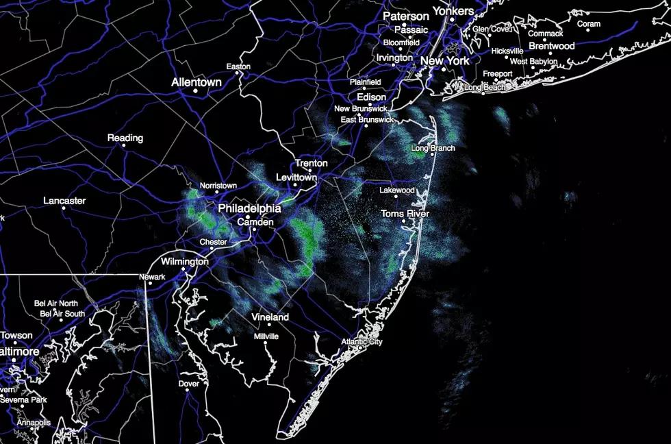
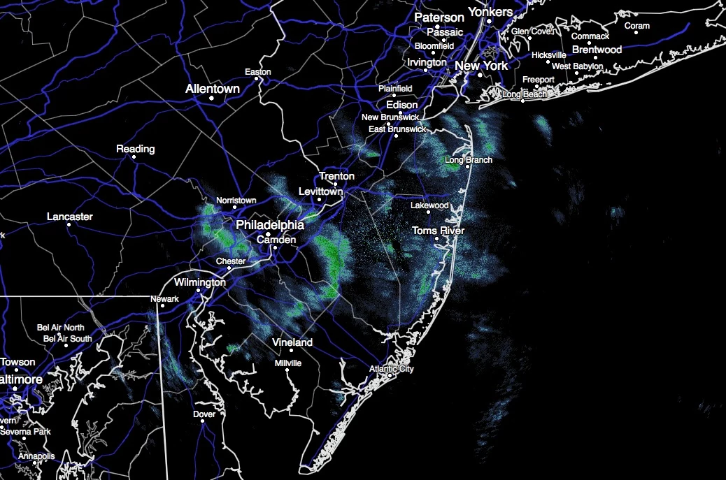
We are starting off the new week quite damp, as spotty showers and drizzle traverse New Jersey throughout the morning hours. I'm not sure how much good an umbrella will do you, with the moisture just hanging in the air.
For most of the state, drier weather should prevail by midday Monday. However, along the coast, some models suggest raindrops will linger into part of the afternoon. Even so, skies will only progress from overcast to mostly cloudy. High temperatures will be warmer than Sunday, but still a degree or two below seasonal normals. I think we'll average 60 degrees Monday afternoon.
A weak cold front will eventually slide through New Jersey Monday night. Pretty anticlimactic, it's just a slightly cooler, drier air mass. We could see some patchy fog prior to frontal passage. Otherwise, expect clouds and cool temps overnight, with lows in the lower 50s.
Tuesday
Overall, not bad. Skies will still be mostly cloudy. That is approximately 75% cloud cover — by definition, allowing for about 25% sunshine. Temperatures will be seasonable — typical for late October. Highs are forecast to push into the lower 60s.
Our next little disturbance is set to arrive late Tuesday night.
Wednesday
Some showers will pass through the state early Wednesday morning. It will not be an all-day thing, as clouds should turn to sunshine by Wednesday afternoon. With high temps holding steady in the lower 60s, it should turn into another decent weather day.
Thursday
As of this writing, Tropical Storm Zeta is centered over the Caribbean Sea. (For those keeping score, Zeta is the 6th letter of the Greek alphabet and the 27th named storm of the 2020 Atlantic hurricane season.) Zeta is expected to strengthen into a hurricane Monday, before clipping the Yucatan Peninsula of Mexico. A second landfall is expected around the Louisiana coast on Wednesday.
And then the remnants of Zeta are expected to aim for New Jersey in the Thursday-Friday time frame. Starting around mid-morning Thursday, we'll likely see an extended period of moderate to heavy rain. With rainfall totals over an inch across the state, there could be some minor flooding and/or ponding issues. At the very least, it's going to be quite wet. And somewhat windy too, with gusts to about 30 mph.
Thursday's high temperature will reach about 60 degrees, but thermometers will fall sharply on the backside of this storm system.
Friday & Beyond
Friday will start wet. And it will end chilly, as temperatures continue to fall. I've put a high temperature around the lower 50s in my forecast, but that's going to happen early on. Yeah, it's going to be chilly!
So chilly, in fact, that the question must be raised... Will we see some wet snowflakes in New Jersey on Friday before precipitation comes to an end? I'm not seeing any danger of accumulations or travel impacts — but this could be New Jersey's first flakes of the year.
The new pool of cold air will be directly overhead by Saturday (Halloween) morning. Low temperatures will likely range from the upper 20s in North Jersey to around 40 along the southern coast. That puts most of the state in frost (≤ 37 degrees) or freeze (≤ 32 degrees) territory. Yes, you might have some ice crystals on your pumpkins to start Halloween!
The rest of Halloween looks fine — sunny, but chilly. High temperatures should reach the lower 50s. That is about 10 degrees below normal for the final day of October. At least there shouldn't be any wind or precipitation to deal with.
Temperatures are expected to moderate on Sunday to about 60 degrees, before our next front and batch of rain arrives Sunday night.

KEEP READING: Here are the best places to retire in America
More From WPG Talk Radio 95.5 FM


