
Dangerous heat and gusty super-soaker thunderstorms for NJ Tuesday
It is hard to call Tuesday a "nice" summer day, with some alarm bells to ring and a steamy, sweaty, stormy forecast shaping up for New Jersey. A Heat Advisory and a Flood Watch have been issued for most of the state. First we'll see high temperatures soar into the 90s across most inland areas, with a heat index potentially at 100+ degrees — "dangerous heat" territory. Then a round of strong thunderstorms looks likely starting late this afternoon, with damaging winds, very heavy rain, and dangerous lightning our primary concerns. Tomorrow will be another unsettled weather day, in the upper 80s followed by a chance for late-day scattered rain. Rain chances should diminish later this week, although humidity and warm temperatures are here to stay for a while.
Tuesday NJ weather: Dangerous heat, nasty thunderstorms
I am sure there will be some trolls on social media who comment that "It's summer. It's supposed to be hot. It always storms. Get over it."
How original.
But there are levels to summertime heat and summertime storms. And it is my job to predict and communicate those risks. I do need to ring some alarm bells for Tuesday, which promises to be an active, uncomfortable, and potentially nasty weather day across New Jersey.
First of all, it is really humid. You will feel it and you will see it, in the form of condensation on your windows. Temperatures are starting the day in the 70s — humid air just can not cool down as efficiently at night, and feels thick and soupy.
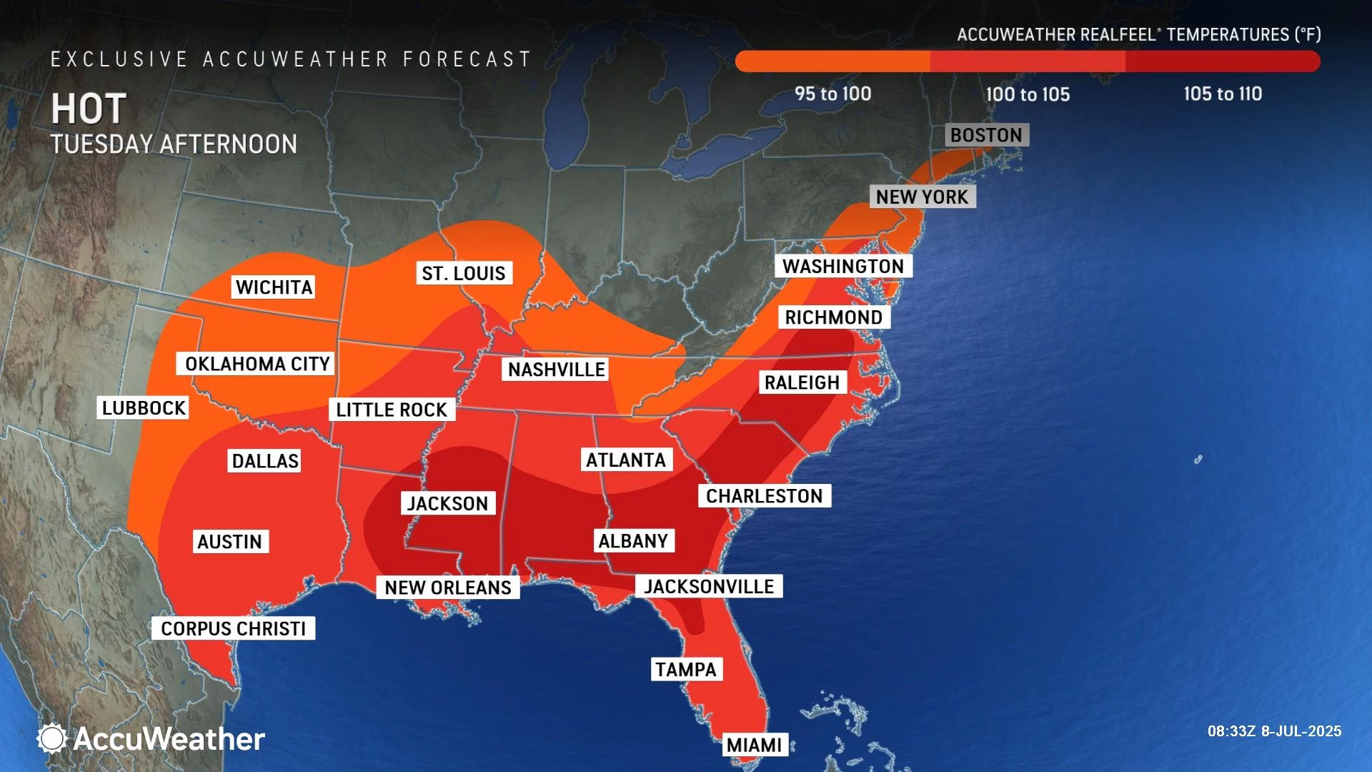
High temperatures Tuesday will reach about 90 to 95 degrees. Factor in the high humidity, and you get a heat index ("feels like" or "apparent" temperature) up to 103 degrees. Anything in the triple digits is flirting with "dangerous heat" territory. A Heat Advisory has been issued for most of New Jersey (expect Sussex, Warren, and the immediate coast) from 10 a.m. to 8 p.m.
You really have to take care of yourself in these conditions:
1.) Dress for the heat, in loose-fitting, light-colored clothing.
2.) Limit strenuous activity during the hottest part of the day, from late morning through early evening.
3.) Take frequent breaks from the heat, in air conditioning if possible.
4.) Stay extra hydrated, before, during, and after you are in the hot weather.
5.) Know the signs of heat exhaustion and stroke and take action if needed.
You will find some relief from the 90s at the Jersey Shore. But a special heads up for beach goers: A high risk of rip currents and rough surf is posted for many beaches for Tuesday. Be sure to follow any and all posted flags, signs, and lifeguard instructions. The ocean is always stronger than you.
The final big headline and danger for Tuesday is a round of strong thunderstorms expected to develop later on. Most of the day will be storm free. But things could get noisy and nasty for a few hours in the late afternoon and early evening time frame. (Maybe even as early as the early afternoon for spotty storm activity in NW NJ.)
Peak storm activity looks to be around dinnertime. Awful timing, coinciding with the evening commute, which could become very treacherous in spots.

All the ingredients will be there for severe storms: Instability or energy, from heat. Moisture, from humidity. And lift or a spark, from an approaching cold front. I have no doubt we will see powerful thunderstorms in New Jersey. Maybe not everywhere, but they should be pretty widespread.
Damaging winds (60+ mph) and very heavy rainfall (1 to 2+ inches per hour) top the list as primary thunderstorm concerns. There will be a lot of lightning around too. Hail and an isolated tornado are possible.
A Flood Watch has been issued for all 21 counties of New Jersey from Tuesday afternoon through late night, cautioning that downpours may cause flash flooding of low-lying areas and other flood-prone areas, including roadways.
I am 100% confident severe thunderstorm watches will be issued later on, given the wind threat.
Once sunset arrives — around the 8 p.m. hour — any remaining storms will pulse down quickly. Clouds will linger overnight and it will remain muggy. Low temperatures will only dip into the lower 70s.
Wednesday NJ weather: Still steamy, potentially stormy
Despite that "cold front" passage, we are not going to get much relief from the steamy weather on Wednesday. At least the heat index will fall out of the "danger zone".
Wednesday's sky is going to look pretty murky, with clouds mixed with peeks of sun. Because of that unsettled sky and continued humidity in the atmosphere, I can't completely rule out a shower at any time.
High temperatures will reach the upper 80s to around 90 degrees. That is a bit above normal for this time of year, as we approach the average hottest time of the summer.

Most of Wednesday daytime looks dry. Some forecast models are latching on to another round of stormy weather arriving late Wednesday — really, Wednesday night. And this could be a real soaker, leaning more toward drenching rain than a severe weather threat. It's not a slam dunk that this batch of rain will pass directly over all of New Jersey. But I am leaning in that direction, with a healthy inch or two of total rainfall possible.
Thursday NJ weather: Unsettled weather continues
Thursday is a question mark. Unsettled is a really good word to describe it, as we wait and see how Wednesday night's forecast shapes up.

At the very least, Thursday will be mostly cloudy with spotty showers and continued muggy conditions. There is a chance for even more rain during the day Thursday, if the wettest solution plays out Wednesday night. That could put a damper in outdoor plans.
A mainly dry day would see seasonable highs in the mid 80s. A wetter day would be closer to 80 degrees.
Friday NJ weather: Improvements
Friday will not be a perfect weather day, but I like the trend.
Early clouds and a few stray showers should give way to partial sunshine. A thunderstorm is possible later on, but it should be isolated. If high temperatures are limited to the lower to mid 80s, it would be a fairly comfortable warm summer day.
Saturday NJ weather: Typical summer weekend
It is still a little early to get a confident read on the upcoming weekend. But I still see no organized chaos — i.e. storm systems, extreme heat, etc.
For now, I will call Saturday a partly sunny day with a chance for an isolated shower or thunderstorm. High temperatures in the upper 80s to around 90.
The effects of a weak cold front might push Sunday's high temps a couple degrees cooler for Sunday. It would also keep our skies sunny and our weather dry.
Here's why NJ heat waves can be incredibly dangerous
Gallery Credit: Dan Zarrow
Dan Zarrow is Chief Meteorologist for Townsquare Media New Jersey. Follow him on Facebook for the latest forecast and realtime weather updates.
The complete list of names for the 2025 Atlantic Hurricane Season
Gallery Credit: Dan Zarrow
More From WPG Talk Radio 95.5 FM


