Tuesday NJ weather: One blustery day, with flurries and sprinkles
The Bottom Line
Well, Tuesday morning is a lot quieter and drier than Monday morning was. The nasty coastal storm system is long gone, and flood waters continue to recede. New Jersey begins a stretch of predominantly dry and fair weather that will likely last through Christmas.
Having said that, a few snowflakes and raindrops are possible Tuesday, along with a chilly breeze and unseasonably cold temperatures. Wednesday and Thursday will be better, brighter, more comfortable weather days.

Tuesday
There are still a number of flood warnings posted for rivers, streams, and creeks around New Jersey. Runoff from Monday's heavy rain is still flowing downstream, keeping water levels above flood stages. There are numerous road closures around. Those floodwaters will continue to recede Tuesday.
The ocean will also calm further on Tuesday. It appears the coastal flooding threat is done, as back bays have now drained.
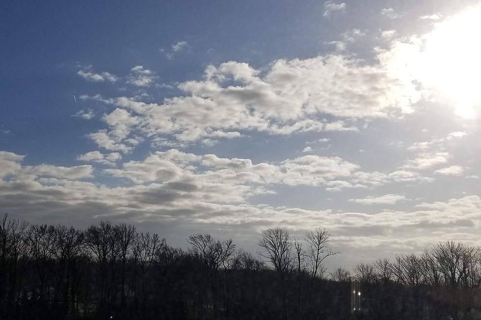
Weather-wise, temperatures on Tuesday will go nowhere fast. 30s in the morning, and a high of only 40 degrees. A brisk northwesterly breeze, blowing up to 20+ mph, will add a chilly bite to the air. We will alternate periods of sun and clouds.
Radar also shows NJ is "surrounded" by showers, which may clip the edges of the state with flurries or sprinkles both Tuesday morning or Tuesday afternoon. I doubt we will see any accumulations or travel impacts.
After sunset, the chance of raindrops and snowflakes will drop to zero. And it will be a clear, quiet night. Cold too, with subfreezing low temperatures in the mid-upper 20s.
Wednesday
With plentiful sunshine, dry weather, lighter winds, and temperatures about 5 degrees warmer, Wednesday will be a nicer day than Tuesday.
Not much to complain about, actually. (By late December standards, at least.) Look for highs in the mid 40s.
Thursday
Very similar to Wednesday, but with a subtle wind shift keeping temperatures slightly cooler. Thursday will be sunny and dry, with highs in the lower to mid 40s.
Friday
Friday brings a return of chilly temperatures. 20s in the morning. Only 40-ish for a high. Skies will be partly sunny. And while I can't rule out a flurry, the forecast looks mainly dry.
The Weekend & Beyond
Even as we dive into the big Christmas weekend, our weather will stay fairly quiet.
A little disturbance rides in Saturday, with clouds and maybe some showers. High temperatures will inch closer to 50 degrees.
Both Sunday (Christmas Eve) and Monday (Christmas Day) look dry, with a return of sunshine. Highs should reach about 45 to 50 degrees. Sorry, no magical Christmas snow this year. (You'll have to travel to far northern New England or the Rocky Mountains to find some.)
Our next significant storm system is modeled to arrive in the middle of next week, around the Tuesday-Wednesday time frame. It could be another heavy rain machine. It could end with a burst of snow. Lots of possibilities to watch, especially given the post-holiday timing.
30 unique 'experience' gifts New Jerseyans actually want to get
Gallery Credit: Dan Zarrow
Dan Zarrow is Chief Meteorologist for Townsquare Media New Jersey. Follow him on Facebook for the latest forecast and realtime weather updates.
11 last minute gift ideas for those 'C-List' people in your life
Gallery Credit: Joe Votruba
More From WPG Talk Radio 95.5 FM


