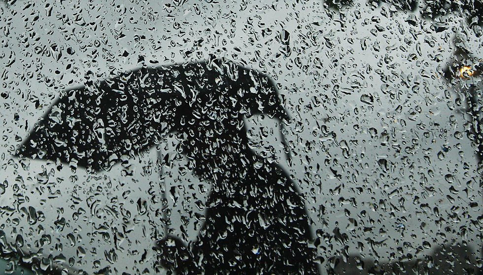
Wednesday NJ Weather: Dreary, Drizzly, and Damp for Just One Day
The Bottom LineWe take a momentary pause from "sunny and spectacular" weather, as things turn "dreary, dull, and damp" Wednesday. A warmup kicks in for Thursday and Friday, but not without some wind and thunderstorm concerns. The weekend is 50/50: Saturday looks good, but Sunday looks wet.
Wednesday
Forecast models have trended quite a bit wetter for New Jersey Wednesday. So our outlook now goes beyond "showers and sprinkles" to now include over a half-inch of healthy rainfall for most of the state. Umbrellas up!
We start the day with patchy drizzle and sprinkles and fog. Somewhere between 10 a.m. and 2 p.m. (let's call that "midday"), a batch of steadier rain will arrive from the west. So through the afternoon and early evening, we'll contend with periods of light to moderate rain.
Skies will be cloudy. It might get breezy at times. And temperatures will be limited to the mid 50s at best. Not terrible, just cooler. Still a degree or two above normal for late March. Temperatures will stay above freezing for the duration, so there is no threat for wintry weather at any point Wednesday.

Rain will wind down Wednesday evening, with final raindrops expected to fall by about 10 p.m. There won't be much clearing overnight. And temperatures won't drop much either, returning to the mid 40s or so by Thursday morning.
Thursday
Flipping right back to dry, mild weather, although sunshine will be limited. With periods of clouds and sun, high temperatures should push into the mid to upper 60s across most of the state. 70+ degrees is a definite possibility for inland South Jersey. Dry and pleasant, a great opportunity for outdoor activities.
Friday
Friday gets even warmer. However, you'll notice a yellow "alert" icon on our 5 Day Forecast, suggesting there is potential trouble afoot.
First of all, a few showers and thunderstorms are expected to drag through New Jersey early Friday morning (between about 2 a.m. and 8 a.m.) It's going to be somewhat humid to start the day, with morning lows in the mid 50s.
Friday afternoon's high temperatures will push into the lower to (maybe) mid 70s, as the sun comes out. However, the wind is really going to kick. I could see sustained winds between 15 and 25 mph, with potential gusts to 40 or 50 mph. Early on, that will be a southwesterly "blast furnace" wind, helping the warmup. Later, it will turn to the northwest, ushering in cooler air again.
The Weekend
The 70s will be gone again as we dive into the last weekend of March. But temperatures will only get knocked back to where we were last weekend.
Saturday looks pretty pleasant, with high temps in the lower 60s amid lots of sunshine and dry air. The only nuisance would be an occasional breeze, perhaps over 20 mph at times.
Sunday looks wet. Rain and thunderstorms seem likely, especially in the morning. The cooling raindrops, clouds, and on-shore breeze will probably keep temperatures in the 50s.
The Extended Forecast
Early next week looks cooler, with more seasonable lower 50s for Monday. For now, I'll call it a mostly sunny and breezy day. Although confidence is rather low, temperatures should then moderate to above-normal levels again by midweek.
The next storm system down the line will probably come right around the transition from March to April, next Wednesday-Thursday. For the record, this would be the third time in a row we'd face a storm system on the cusp of a calendar page transition. This front should be a mainly rainmaker. But at this point of the season, we're still on the lookout for snowflakes too.
The CMDZ Weather Blog takes a break through the weekend, as I take a few very much-needed days off. (It's been a heck of a winter season!) If anything pressing pops up, you'll be among the first to know. Otherwise, I'll see you Monday morning.
Small towns in New Jersey you didn't know existed
LOOK: Stunning vintage photos capture the beauty of America's national parks
More From WPG Talk Radio 95.5 FM


