Beware the ‘flash freeze’ – significant icing possible across NJ
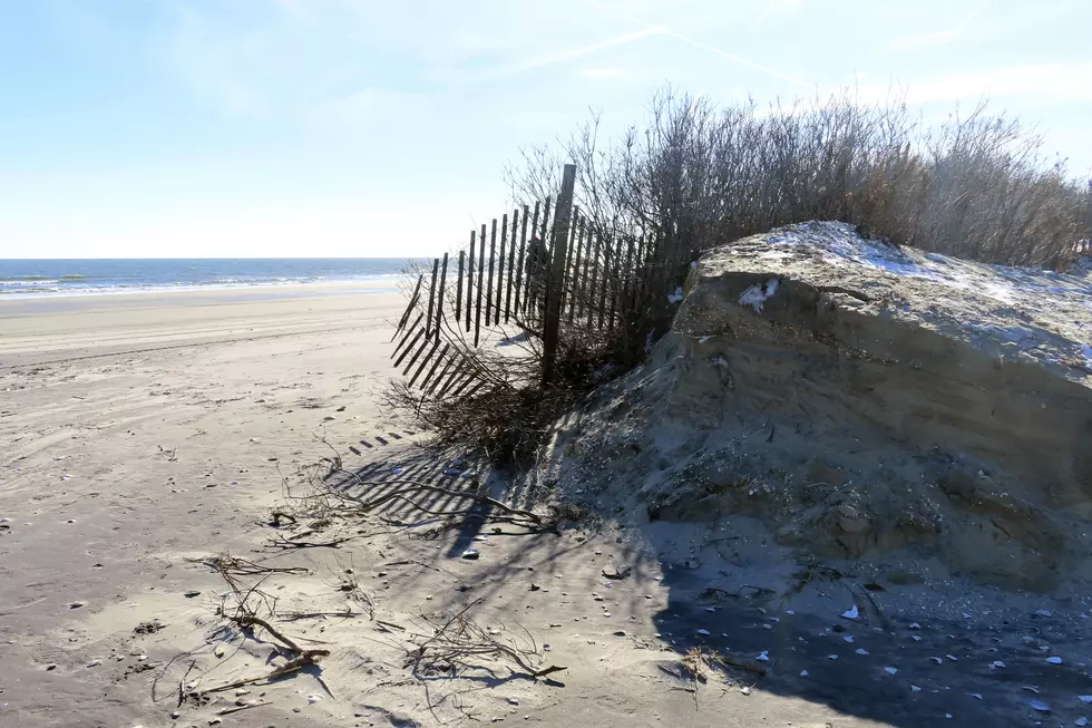
Tuesday began like a scene from a greeting card. Picturesque light snow gently falling and accumulating. For about half the state, it was the first inch of snow in almost two years. Top snowfall total so far: 3.7" at Mount Holly, Burlington County.
And then the morning rush hour began, as New Jerseyans far and wide braved the wintry elements to get to work or school.
And then the transition to icy mix and rain began. Pretty soon, that greeting card became icy and slushy and just plain sloppy.
Now that wintry precipitation is coming to an end, we look forward to Mother Nature's next weather surprise: The arrival of arctic air.
Bone-chilling, teeth-chattering, hand-numbing cold air.
And that is a huge problem.

Overnight, temperatures are forecast to drop into the teens across New Jersey. The wind chill (the "feels like" or "apparent" temperature) will be in the single digits. It's not quite in the "dangerous cold" category, but it will be close.
Needless to say, you had better bundle up warmly late Tuesday night and early Wednesday morning.
More importantly, that deep freeze will have another important consequence. Everything wet - rain puddles, melt water, slush pockets, damp sidewalks - will freeze to solid ice overnight. Even surfaces treated with salt or brine could become slick in such frigid conditions.
This is known as a flash freeze. You may also hear me refer to it as a re-freeze.
The bottom line: I am very concerned about New Jersey waking up to an ice skating rink on roads, sidewalks, driveways, porches, stairs, etc. on Wednesday morning. We probably face another morning of accidents, slow travel, and even delayed openings as a result.
Of course, if you did not get around to shoveling the snow that accumulated earlier, it's going to be frozen solid and even more difficult to clean up.
You might want to set the alarm clock a bit earlier again for Wednesday, to allow time to warm up the car, scrape the windshield, and drive nice and slow.
Unfortunately, there is no appreciable warm up in sight. Temperatures will be stuck below freezing all day Wednesday, followed by a brief respite of 30s on Thursday.
Another minor winter storm is aiming for New Jersey later this week too. For complete details on what is ahead, check out my Tuesday AM weather blog post: Snow, icy mix, and rain wind down – frigid temps ahead for NJ.
MORE WEATHER: All about winter precipitation types
Dan Zarrow is Chief Meteorologist for Townsquare Media New Jersey. Follow him on Facebook for the latest forecast and realtime weather updates.
Glossary of NJ winter weather words and phrases
Gallery Credit: Dan Zarrow
More From WPG Talk Radio 95.5 FM