
Heads up, NJ: Steamy then stormy weather returns Wednesday
The Bottom Line
Wednesday will not be a nice weather day for New Jersey. There are three big weather headlines in play:
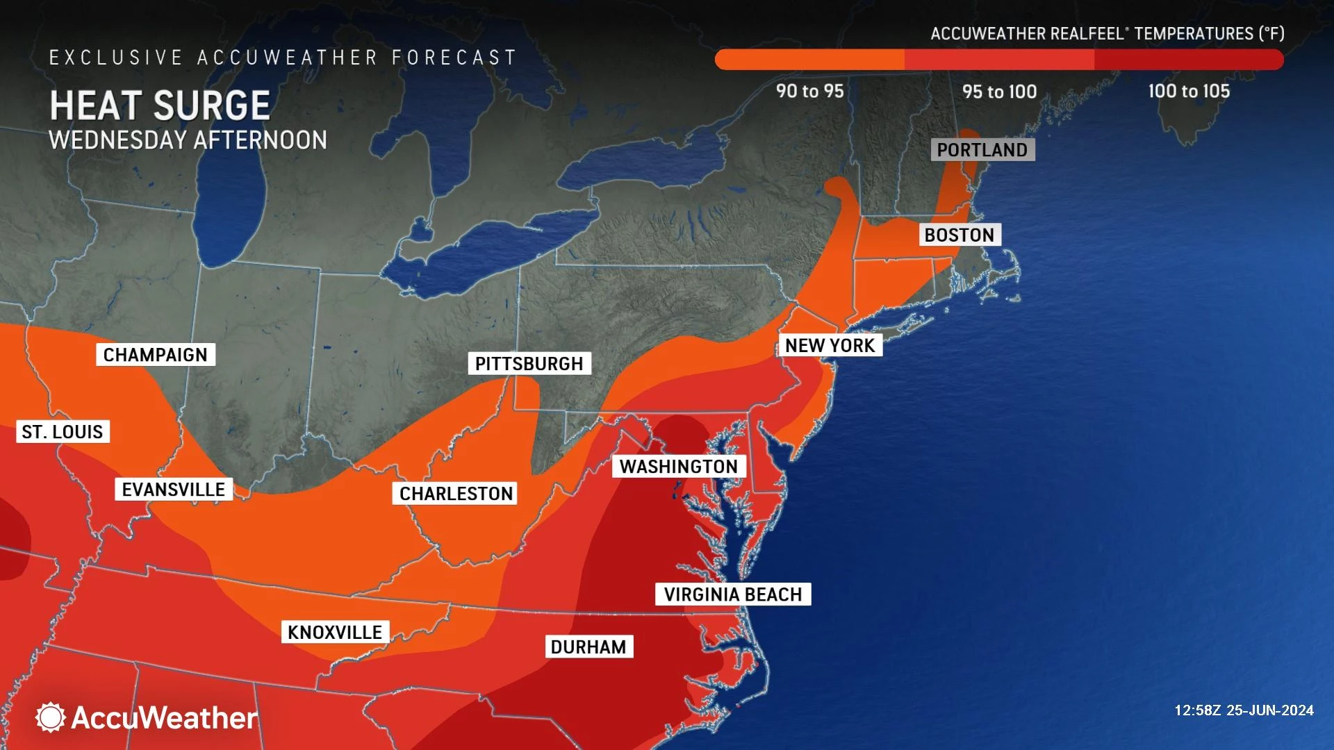
1.) Another big surge in heat and humidity
2.) A high risk of dangerous rip currents and rough surf at the Jersey Shore
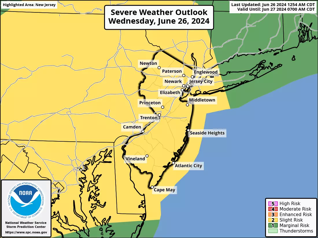
3.) Strong to severe thunderstorms
At least the nastiness only lasts one day. Let's jump right into the details.
Wednesday
Remember Sunday? Ferociously hot and humid, with violent thunderstorms? Yeah, Wednesday looks very similar.
Wednesday morning is all right. Temperatures are around 70 degrees and humidity manageable. Akin to a typical mid-summer morning.
Heat and humidity will surge as the day presses on. Thermometers across inland New Jersey will reach the steamy lower to mid 90s by the afternoon. Expect a mix of sun and clouds, with a stiff breeze.
There will be some relief at the Jersey Shore, especially on barrier islands. However, the cool beaches are subject to a high risk of rip currents and rough surf — you should probably stay out of the ocean.
Given those numbers, the heat index will probably top 100 degrees in many spots. Remember, that's not just the "feels like temperature" — it is also called the "apparent temperature," and is an important indicator of human health impacts. This day will go beyond "regular summertime heat".
You have to take care of yourself out there. Wear light-colored, loose-fitting clothing. Limit strenuous outdoor activity during the hottest part of the day. Stay extra hydrated. Take frequent breaks from the heat — air conditioning is your friend.
Technically, the forecast air quality is not in the "alert" category at this time. But those with heart/lung issues may still have breathing difficulties.
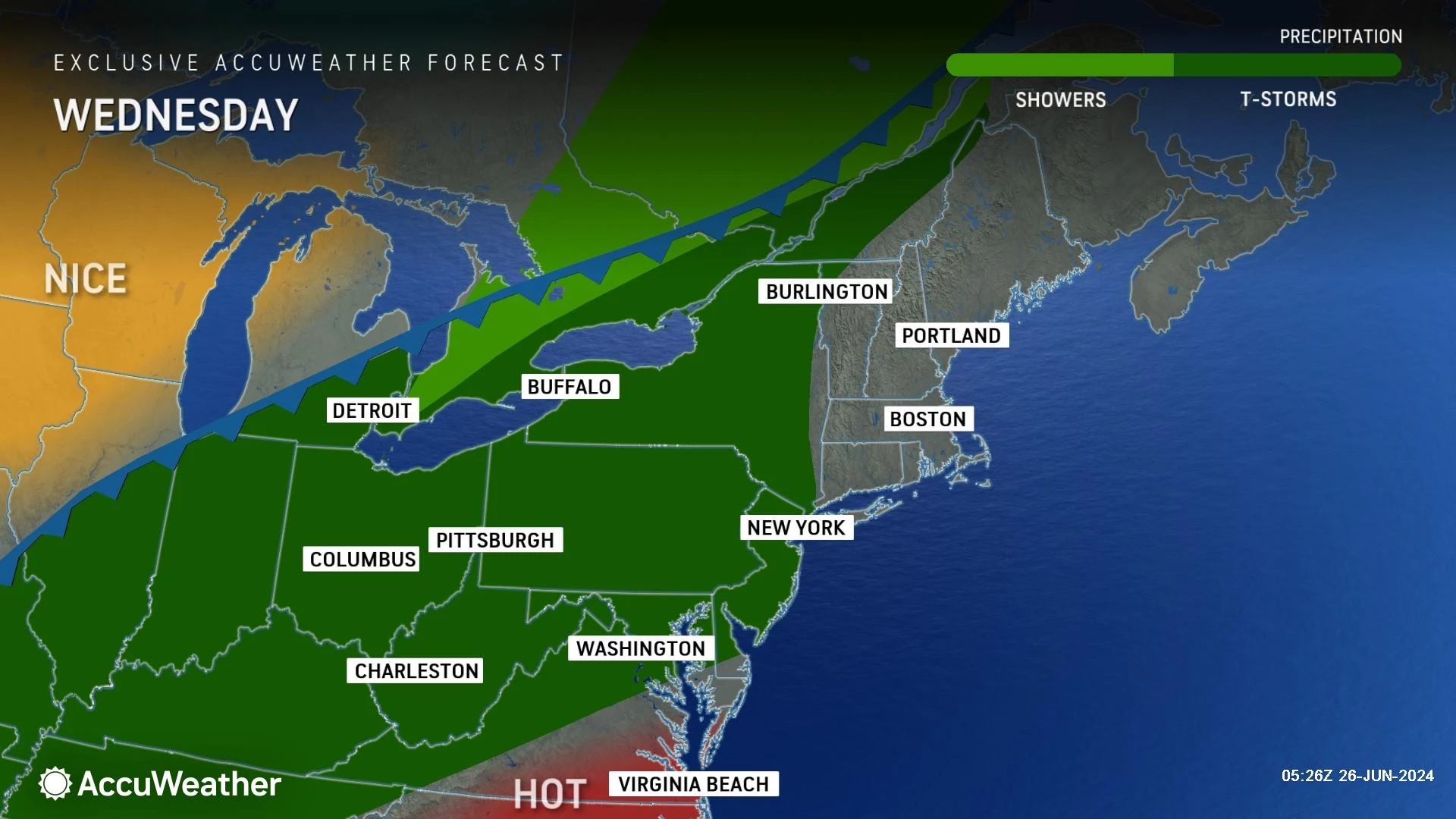
The other big weather story Wednesday is a round of thunderstorms. In a "hot soup" atmosphere like this, a popup shower or thunderstorm is theoretically possible at any time. The main event is forecast to arrive Wednesday evening, starting between 6 p.m. and 10 p.m.
The primary concerns from Wednesday evening's scattered strong storms are the usual suspects: Pockets of very heavy rain and strong, gusty winds. Hail and a tornado are possible, but there is only a slight chance given the current forecast parameters.
Not everyone will necessarily see a storm. But if you do, it is likely to be rather nasty. Please stay alert to changing weather conditions, and head inside a sturdy building if thunder starts to roar.
As showers and thunderstorms continue overnight, low temperatures will dip to around the 70-degree mark by Thursday morning.
Thursday
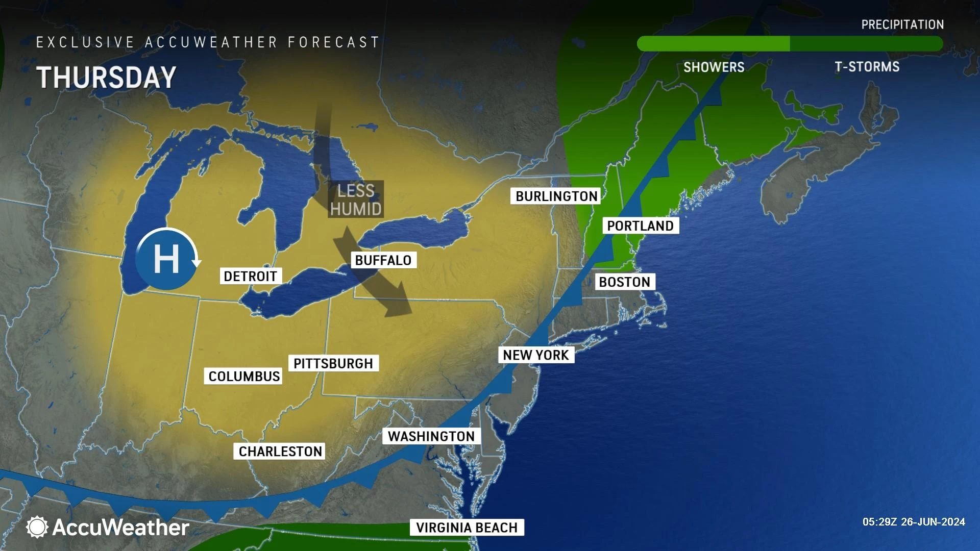
There may still be some showers around early Thursday morning, until our cold front clears the coast. However, the severe weather threat will be long over at that point — just lingering raindrops.
The rest of Thursday will feature nice improvements. Sunshine will emerge by the afternoon, with a fresh northwest breeze. It will not be quite as hot as Wednesday. It will not be nearly as humid either.
Look for highs in the mid 80s. Still very warm. But again, humidity dials back as the day goes on.
Friday
Friday looks fantastic. A beautiful, refreshing day with temperatures a smidge below seasonal normals.
Friday morning, our air will dry out so much that the coolest corners of the state may dip into the 50s. Most of NJ will start the day in the lower-mid 60s.
Highs on Friday will reach about 80 degrees, give or take. The Shore will be in the 70s with an on-shore breeze. Lots of sunshine, very low humidity, and completely dry weather. Soak it in — summer days like this are a rare treat.
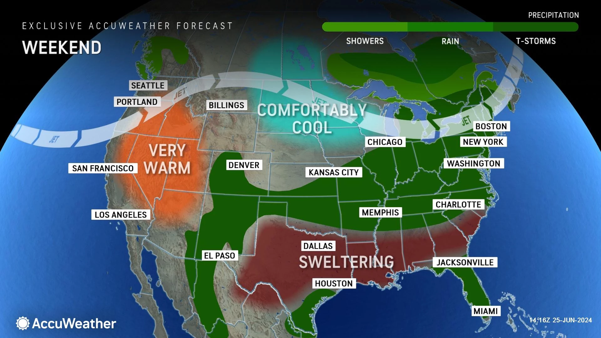
The Weekend & Beyond
The weekend forecast is less ideal. We do need some rain around here — but I hate when it comes over a precious summer weekend.
At the very least, both Saturday and Sunday will turn ridiculously humid. Dew points surge into the 70s, which I would describe as tropical and suffocating. You are going to sweat.
It is going to be very warm. But not quite "heat wave" level. Highs on both Saturday and Sunday will primarily be in the 80s. (90 is a possibility somewhere on Sunday, but not widespread.)
Skies will be mostly cloudy to overcast throughout the weekend. And there will be a daily chance for spotty showers and thunderstorms. Neither Saturday nor Sunday look to become a total washout. But you may have to dodge raindrops if you have outdoor plans.
I am not confident enough about the timing and spread of that rain to lay out a detailed timeline right now. So I would keep plans as flexible as possible. Sudden downpours are a real concern, given the "wet sponge" atmosphere this weekend.
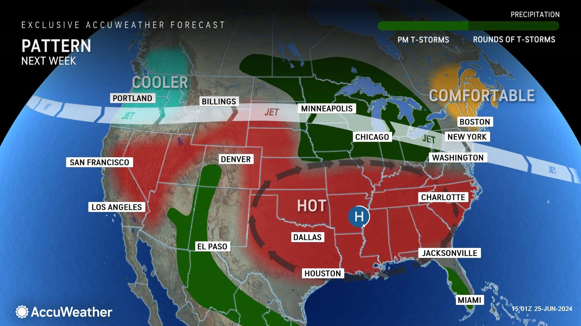
Just in time to go back to work, Monday and Tuesday look excellent, with seasonable highs in the 80s and plenty of sunshine. Most of next week — 4th of July week, by the way — looks dry. Although heat and humidity will be on the rise, meaning there could be some stormy weather around at some point.
BEEP BEEP BEEP: These are the 13 types of Wireless Emergency Alerts auto-pushed to your phone
Gallery Credit: Dan Zarrow
KEEP READING: Get answers to 51 of the most frequently asked weather questions...
More From WPG Talk Radio 95.5 FM


