One More Day of Uncomfortable Heat for NJ and a Few Storms, Too
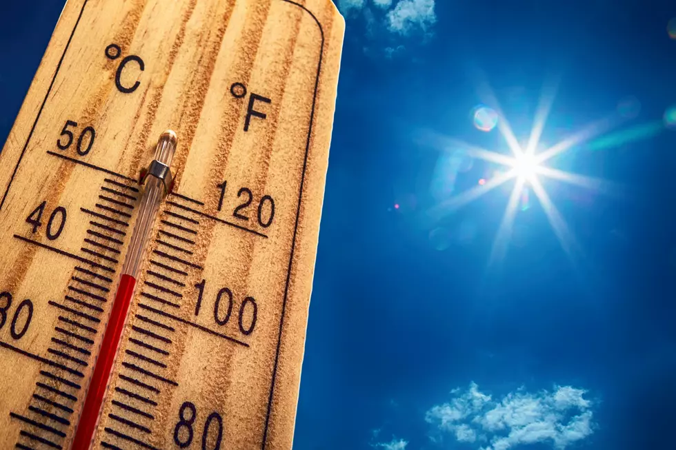
Are you sick of the extreme heat and humidity yet? (Hopefully you haven't gotten sick from the heat, of course.) Call it extreme, call it oppressive, call it uncomfortable — no hyperbole, it's just how we describe the near-record heat of late. There's one more day with a heat index north of 100 before more reasonable summertime heat takes over.
We're starting this Tuesday morning with steamy conditions, temperatures in the 70s, and some patchy fog (especially along the coast). That fog isn't particularly dense, but could be a nuisance for your morning commute. It should burn off by about 10 a.m.
Skies will be partly sunny throughout Tuesday, with high temperatures soaring into the lower 90s across most of New Jersey. The coast and mountaintops of NW NJ should be a little bit cooler, in the mid to upper 80s. Continuing high humidity will push the heat index into the "danger zone," as high as 105 degrees.
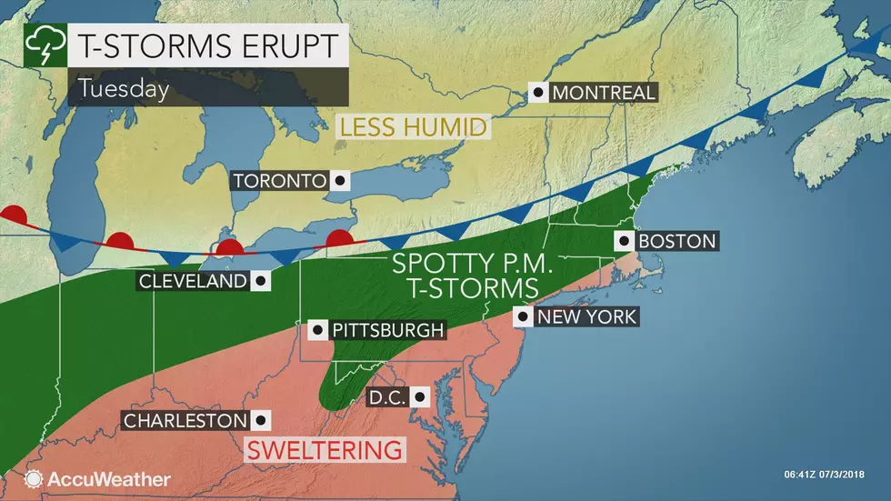
In addition, as a weak cold front sags into the Garden State Tuesday afternoon and evening, the intense heat and humidity may help to fuel a round of scattered strong thunderstorms:
--Best chance of storms: away from the ocean
--Timing: spotty showers early afternoon, peak intensity around 5 p.m., fizzling by Midnight
--Biggest impacts: pockets of very heavy rain, gusty winds, lightning
After any showers fizzle (likely before reaching the coast), we'll experience a mostly cloudy and muggy overnight. Lows will only drop into the 70s.
The effects of the aforementioned front will be slight, but noticeable. Humidity will remain elevated, and it's still going to be hot for your Wednesday (the 4th of July). High temperatures are forecast reach the upper 80s to around 90 degrees. Yes, that means at least part of NJ will not hit the 90-degree mark on Wednesday. And yes, the heat index should stay below the triple-digit mark.
Skies will be partly to mostly cloudy, and I have to include a slight chance for a shower in the forecast — mainly during the day, almost exclusively in northern NJ. Conditions are looking nice and summerlike for your holiday BBQs and fireworks.
Thursday almost looks like a carbon copy of Wednesday — a mix of sun and clouds, a stray shower chance, and highs in the upper 80s to around 90.
Our big transition from hot to not will come on Friday. An approaching cold front will spread a line of steady rain and thunderstorms into New Jersey starting around midday Friday. The rain itself will cool us off quickly — more importantly is the air mass behind the cold front.
By Saturday morning, skies will be sunny, temperatures will be cooler, and humidity will be significantly lower. The weekend forecast still looks fantastic to me, with near 80 degrees for Saturday and warmer mid 80s for Sunday. I'm definitely looking forward to more seasonable, reasonable summer weather!
More From WPG Talk Radio 95.5 FM