
Two More Hot Days in NJ, Stormy Start to Weekend
The Bottom Line
Wednesday was the 37th 90+ degree day of 2021 at Newark, N.J. Thursday will be day #38. Friday will make 39. And that's it — our next heat wave comes to a crashing end with strong thunderstorms and a cold front Friday afternoon and evening.
Behind that front will come a damp, cloudy, and unusually cool start to the final weekend of August. Next week will bring a return to warm and unsettled weather.
Thursday
I've opted for a persistence forecast, basically expecting thermometers to do exactly the same thing they did on Wednesday.
We're starting your Thursday morning with temperatures averaging lower 70s. Some patchy fog developed overnight, putting some spots at a quarter-mile visibility.

It's going to be another mostly sunny, hot and humid summer day. High temperatures will climb into the lower 90s. A sea breeze should keep the oceanfront about 5 to 10 degrees cooler through Thursday afternoon.
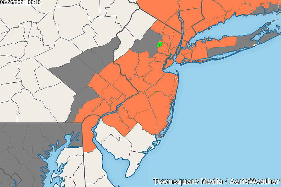
Of course, we have to talk about humidity and heat index too. With the heat index potentially touching 100 degrees Thursday, we're on the edge of "dangerous heat" territory. The National Weather Service has issued a Heat Advisory for most of the state for both Thursday and Friday. An Air Quality Alert (Code Orange) for basically the same area cautions of breathing difficulties for those with pre-existing heart and lung conditions, the very old, and the very young.
Finally, starting around 3:00 Thursday afternoon, we'll have to watch the sky for a popup thunderstorm or two. An isolated soaker is possible. Any storms should pulse down quickly past sunset Thursday evening.
The rest of Thursday night will be quiet and mainly clear. Fog may form again in our humid air. Low temperatures will once again dip into the lower 70s.
Friday
The day will start steamy and end stormy.
Under partly sunny skies, thermometers should reach the lower 90s one more time.
Between mid-afternoon and early evening, an approaching cold front will cause enough lift in the atmosphere to start a round of scattered thunderstorms. Everyone in New Jersey will probably get wet through Friday night.
And my concern is that the abundant heat and low-level moisture will help fuel some strong storms, with pockets of heavy rain and gusty wind. We still have waterways running high from Henri's rainfall, and the ground is pretty saturated. So flooding could be a problem in a hurry if 1-2+ inches of rainfall in a short period of time.
Saturday
The aforementioned front will stall just south of New Jersey. Unfortunately, it will be close enough to keep scattered rain in the forecast through at least midday Saturday. Some models even put some wet weather on top of us through the afternoon hours too. Just like every other weekend of the summer season — not ideal.
In addition to the raindrops, thick clouds will prevent temperatures from going anywhere. It looks like we'll be stuck in the 70s all day. The only possible exception is SW NJ, which could warm into the 80s. It all depends on the exact location of the frontal boundary.
Sunday
I'm still confident that Sunday will be the warmest, more summer-ish day of the weekend. So luckily, the weekend won't be a total loss.
High temperatures should return to the seasonable mid-80s Sunday afternoon. Skies will be mostly cloudy. And I can't rule out a few showers along the way.
Will it still be humid? Good question. Some guidance shows a burst of lower dewpoints and drier air settling over New Jersey throughout the weekend. But I'm not sure it will make a huge difference. At least we're out of the heat and humidity "danger zone".
The Extended Forecast
Next week's forecast looks warm and unsettled, as that cold front shoves north again as a warm front. My latest estimation puts high temperatures around 90 for both Monday and Tuesday. With a chance of spotty showers and thunderstorms too.
Long-range models show a strong storm system clipping New Jersey from the south in the Wednesday-Thursday time frame. Periods of rain are possible, causing another burst of cooler temps.
If all goes well, the unsettled junk will clear out for the big Labor Day Weekend. But the temperature trend is unclear at this time.
Of course, all this is subject to change based on the tropics. Things are firing up again, with three significant tropical waves under investigation. They are all hundreds (if not thousands) of miles away from New Jersey, so no immediate concerns. The next names on the list are Ida, Julian, and Kate.
Remembering Tropical Storm Irene's impact on NJ, 10 years later
25 True Crime Locations: What Do They Look Like Today?
More From WPG Talk Radio 95.5 FM


