After 84 Hours of Precipitation, NJ Finally Gets a Sunny, Dry Day
The Bottom Line
Our forecast for the next week isn't exactly quiet, but it's not overly hyperactive either. The impacts of our recently-departed nor'easter are finally done, and we'll squeeze out a bright, dry day Thursday. A warm front on Friday will produce mainly rain (with some snow/mix) over New Jersey. Sunday's coastal storm still looks like a miss. And even the next storm system down the road, in the middle of next week, looks much more wet than wintry.
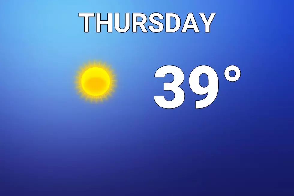
Thursday
Finally, a break in the clouds and snowflakes and raindrops! I estimate we had something falling from the sky somewhere in New Jersey for about 84 consecutive hours — from 9 a.m. Sunday morning through 9 p.m. Thursday evening. (Of course, at times in that window, there was a lot of something pouring down!)
Skies have been steadily clearing overnight, and we should enjoy plenty of golden sunshine all day Thursday. It will be dry.
Morning temperatures are hovering around 30, just below the freezing mark. So any meltwater Wednesday could have turned into a skating rink early Thursday. Watch for slippery spots.
Clouds will increase again Thursday night. And warmer air will start to bubble up from the south. So it's not going to be that cold overnight, as thermometers only bottom out around 30 degrees again.
Friday
Our next storm system rolls in Friday. And it looks like mainly a rainmaker for New Jersey. Light rain. Mainly in the morning, between 4 a.m. and Noon.
But in northwestern New Jersey — this time around, let's define that as NW of the Route 1 corridor — could see wintry mix and/or straight snow, instead of rain. Again, precipitation intensity is expected to be on the light side. But there is a chance we see an inch or two of fresh accumulation in that coldest corner of the state.
By Noon, the majority of our rain and snow will be gone, although a few showers could linger into the afternoon. I'm optimistic the clouds will start to part by late afternoon.
As a result of the warm frontal boundary, we'll see a fairly wide range of temperatures. Highs will be limited to the mid 30s in North Jersey, with "balmy" mid 40s in South Jersey.
Saturday
Not a bad way to start the weekend. Mostly sunny skies, a southwest breeze, and high temperatures in the lower 40s.
Sunday
We had been watching a coastal storm system for the Sunday time frame. But the vast majority of model guidance now show it swinging wide and missing New Jersey. (There are admittedly a few solutions that show some rain showers "kissing" the Jersey coast on Sunday.)
So we'll go for a mostly cloudy and breezy forecast, with high temperatures holding steady in the lower to (maybe) mid 40s.
The Extended Forecast
The wide eastern swing of that non-nor'easter also impacts our weather forecast next week. We had been expecting an intense arctic blast, with very cold air getting dragged down from the northwest. The Northern Plains, Midwest, and Great Lakes regions will get frigid. But I'm not so sure the coldest piece of that arctic air mass will reach New Jersey.
It will get cooler on Monday, with highs knocked back to the 30s.
Another storm system on Tuesday will also carry warm air — we might hit 50 degrees in southern NJ. So I'm leaning toward another wet, not wintry day.
That system might be enough to kick that very cold air closer to us too. Some models are showing a frigid end to next week.
The next 7 days contain no significant threat of winter weather. Unless some nasty surprises pops up, our next opportunity for a substantial storm won't come until late next week. (Around Valentine's Day.)

More From WPG Talk Radio 95.5 FM


