Friday NJ weather: A pleasant, cool “fall feel” for the weekend
The Bottom Line
The driver of Friday morning's rain is a weak cold front. As we dry out around lunchtime Friday, temperatures will be stuck at or below normal for the foreseeable future. The first weekend of October looks generally pleasant and autumnal, with only one minor rain chance to get in your way.
Friday
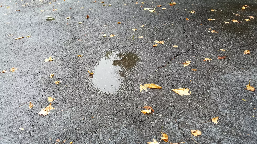
A damp start, but a bright finish. Scattered light rain will persist through about midday. As of this morning (5:30 a.m.), the steadiest rain is streaming west of the NJ Turnpike. (Still showers and drizzle closer to the coast.)
So you might need an umbrella through the morning. And a light jacket too, with temperatures in the 50s.
High temperatures Friday afternoon will only reach the lower to mid 60s — on the order of 5 to 7 degrees below normal for early October.
Friday night will be clear and chilly. I don't think our new cool and dry air mass is quite cool and dry enough to ring frost alarm bells. Still, most low temps will probably dip into the mid 40s, with warmer 50s around urban and coastal areas.
Saturday
A pleasant fall day, perfect for (socially-distanced) apple picking, hayrides, corn mazes, etc. Mostly sunny skies and completely dry weather. High temperatures will push into the upper 60s.
Sunday
A pair of storm systems will come into view on Sunday — one off the coast, and one approaching from the west. That combination will increase cloud cover, although it shouldn't ruin the day. High temps will be a degree or two cooler, in the mid 60s.
We'll be watching for our next chance of rain late Sunday too. First raindrops could come as early as Sunday late afternoon (4 p.m.-ish). But more likely we'll get a little bit wet from Sunday night through Monday morning.
Monday
Those rain showers should wrap up by around 10 a.m. Monday. And then once again, skies will become blue and sunny quickly afterwards. High temperatures on Monday will bounce back to the upper 60s.
Tuesday & Beyond
The forecast stays quiet for Monday and most of Tuesday, with a little warming trend into the 70s. Our next storm system is modeled to be a strong cold front late Wednesday. That would lead to a classic burst of rain and wind, followed by breezy and cooler weather. I don't want to get too specific about the timing and impacts just yet. But my sense is that this next cool pool could lead to some more serious widespread frost talk by the midpoint of October.
Have a wonderful weekend!

More From WPG Talk Radio 95.5 FM


