NJ Weather: From 70s to 60s to 50s, from Sun to Storms to a Freeze
The Bottom Line
I have no hesitation in calling Tuesday a spectacular spring day across all of New Jersey. However, our weather then turns quite turbulent, as a cold front slides in Wednesday. That will lead to a round of stormy weather, followed by a big cooldown. While the chill will be brief, it could lead to a widespread freeze Thursday morning.
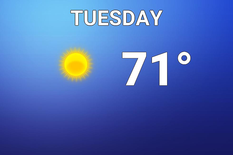
Tuesday
You know all the times you lay full blame on the weatherman for inclement, nasty weather? I don’t mind, as long as I can also take credit for beautiful weather days like Tuesday.
As we’ve seen for the past several mornings in a row, there is a chill in the air to start the day. WIth temperatures mainly in the 40s, you may need a jacket or sweater as you step outside.
High temperatures will bump into the lower 70s Tuesday afternoon for almost the entire state, running about 7 to 10 degrees above seasonal normals. Even mainland beaches should hit 70+. Barrier islands and the Delaware Bay shore will be the cool spots in the state.

It will be bright and sunny, with some fair-weather clouds (especially in the afternoon). A southwesterly breeze may occasionally gust over 20 mph, keeping the warm air (and the pollen) moving around. We’ll stay completely dry.
Tuesday evening looks quiet and fairly pleasant too. With a few clouds overhead, lows will fall into the lower 50s by Wednesday morning.
Wednesday
Turning much more active and turbulent, thanks to a cold front.
The day will start OK, with increasing clouds and spotty showers possible in the morning. High temperatures should reach the lower to mid 60s by midday.
And then along comes our cold front - the leading edge of a cooler air mass. The density difference along such fronts often cause a large degree of lift (rising motion), leading to stormy weather.
Model guidance suggest a squall line - a line of thunderstorms - will pass from west to east across New Jersey Wednesday afternoon. There will be enough instability in the atmosphere to raise concerns over gusty winds. And there will be enough moisture to sustain (brief) torrential downpours too. It looks like the worst weather will sweep through between about 1 p.m. and 5 p.m.
Beyond the storms and behind the front, a strong west-northwest wind will kick up. (Potential gusts over 30 mph.) Temperatures will tumble into Wednesday night. I almost want to cause this an “arctic blast” because of how far and how fast thermometers will fall.
Thursday
Yikes, it’s going to feel more like early March than late April. At least the chill only lasts a day.
A widespread freeze is looking likely for Thursday morning, away from the coast. We may even dip into the 20s in NW NJ. We’re not worried about icy spots or “dangerous” cold (although wind chills could dip into the 20s). However, early-season gardeners should take note - your tender, sensitive plants will not like such cold at all.
HIgh temperatures will only reach the lower 50s at best Thursday afternoon, about 10 degrees below normal for this time of year. Skies will clear to sunshine, and a biting breeze will continue to blow out of the west. Some models do show a quick snow shower or snow squall on Thursday, but I think the air will be too dry for that nonsense.
Friday
We could see one more frost or freeze Friday morning, before temperatures moderate. In fact, highs on Friday should bounce back to the seasonable lower to (maybe) mid 60s. I read it as a sunny, breezy, and pleasant day overall.
The Weekend & Beyond
The warming trend will continue into Saturday, as thermometers bump into the mid to upper 60s. Skies will become mostly cloudy, so it’s not a perfect forecast. But still a pretty nice day.
Our next storm system comes into view in the Saturday night to Sunday time frame. (This is a notable nudge earlier than previous model runs had suggested.) A 12-hour period of soaking rain is looking likely, with over an inch of total rainfall. I doubt flooding, severe weather, or winter weather would become an issue. Just wet weather.
And if you’re looking for another big warmup, you’ll like the forecast for next week. Long-range models are painting 70s and maybe even 80s by next Tuesday and Wednesday. A taste of summer, anyone?
The event so good, you'd get the COVID vaccine
Gallery Credit: Steve Trevelise
Most annoying things about driving with a Jersey driver
Gallery Credit: Steve Trevelise
More From WPG Talk Radio 95.5 FM


