NJ Weather: Humidity and Heat Ramp-up for the First Full Weekend of Summer
The Bottom Line
Warming temperatures. Rising humidity. Low rain chances. Sounds like an amazing beach and pool weekend to me!
Friday, Saturday, and Sunday will be seasonably summer-ish, with only a popup shower or thunderstorm to potentially get in your way.
Next week, the heat will get a bit bonkers, with widespread 90s in the forecast for Monday and beyond.
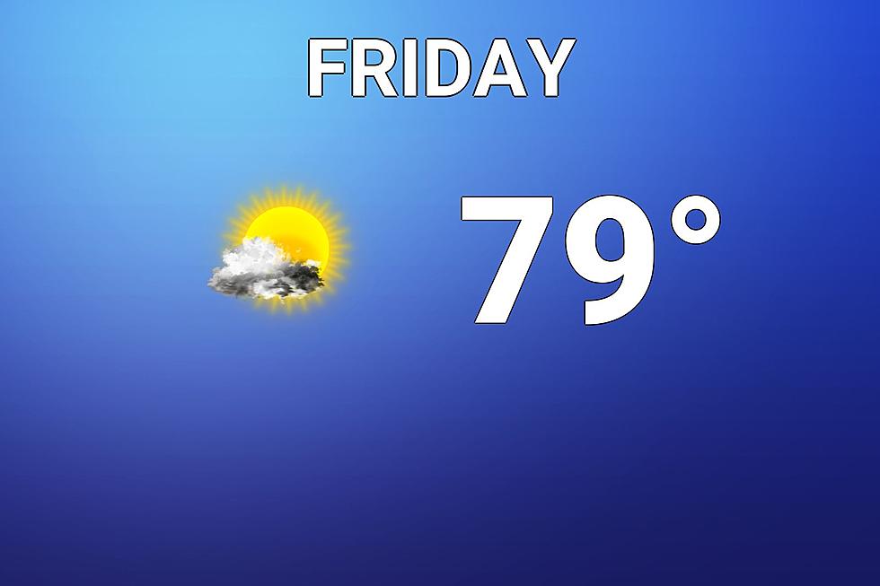
Friday
How your weather looks and feels on this Friday morning depends on which side of the state you're on. A weak disturbance passing by off-shore has pushed some clouds over the Jersey Shore. The effect of that "blanket" overhead is warmer temperatures, in the 60s. Most of the state is starting the day on the cool side once again, in the 50s. (Even some 40s in pockets too.)

I have heard a couple reports of sprinkles from that weak coastal circulation. But radar is dry, so it's just patchy drizzle.
The big warmup kicks in Friday. Having said that, temperatures will still end up about 5 degrees shy of seasonal normals Friday afternoon. Look for highs around 80 degrees. It will be cooler at the Jersey Shore.
This will be the coolest day of the next seven, at least. Humidity will slowly tick upward as the day goes on. (Dew point rises to about 60 by sunset.) But I doubt you'll really notice any substantial stickiness just yet.
Mixed periods of sun and clouds will carry through the day. The thickest clouds will occur 1.) along the coast and 2.) later in the day.
Friday night will not be nearly as cool as the past few nights, thanks to the increased humidity and cloud cover. Low temps only dip into the upper 60s, under a partly cloudy sky.
Saturday
Definitely feeling summer-ish. It is going to be a (seasonably) warm and humid day, with most highs reaching the mid 80s. With at least a partial sea breeze, I do expect the Jersey Shore to end up considerably cooler - possibly 10 to 15 degrees cooler at the beaches than farther inland.
Saturday looks like a mostly cloudy day, although not in a dreary way - you'll just see lots of big, puffy clouds overhead.
There is a chance for some popup showers and thunderstorms Saturday afternoon too. Best chance seems to be to the north and west. Although I'd recommend everyone keep the possibility in mind, just in case.
Overall, it's going to be a typical, relatively pleasant summer day.
Sunday
Getting even warmer. Highs surge into the upper 80s, with 90+ a possibility in cities and SW NJ. Skies will average partly sunny across the state. And I don't see any substantial storm chance this time around.
Monday & Beyond
There is a strong signal that intense ridging will drive a heat wave here in New Jersey next week. (Actually the core of this hot air mass will be Virginia and the Carolinas, where temperatures could approach the triple digits.)
High temperatures on Monday, Tuesday, Wednesday, and Thursday are expected to reach the lower 90s across the state. Even North Jersey and the Shore will see some 90s here. Humidity levels will be high, making it feel even steamier. (I'm not ready to call it "dangerous heat" yet, as the heat index is expected to stay below 100. Barely)
A little wave could drive in some showers and thunderstorms in the Tuesday-Wednesday time frame. But that will do little to nothing to cool us down.
I've already had a handful of New Jerseyans asking about the 4th of July Weekend, which is only 8 days away at this point. And I'll say this. The forecast for the holiday weekend will be directly dictated by when and how the heat wave ends. At the moment, models show rain and cooldown arriving around Friday 7/2 or Saturday 7/3. As long as that plays out, we're looking great for the majority of the holiday. Obviously, it's something we'll be watching intently next week.
Stay cool, stay hydrated, use sunscreen, and enjoy the weekend!
Take a Dip In The Most Breathtaking Backyard Pools in New Jersey
Gallery Credit: Matt Ryan
The Tastiest Jersey Shore Food Trucks You Should Try This Summer
Gallery Credit: Jimmy G
More From WPG Talk Radio 95.5 FM


