
NJ Weather: Unsettled Friday, Beautiful Weekend
The Bottom Line
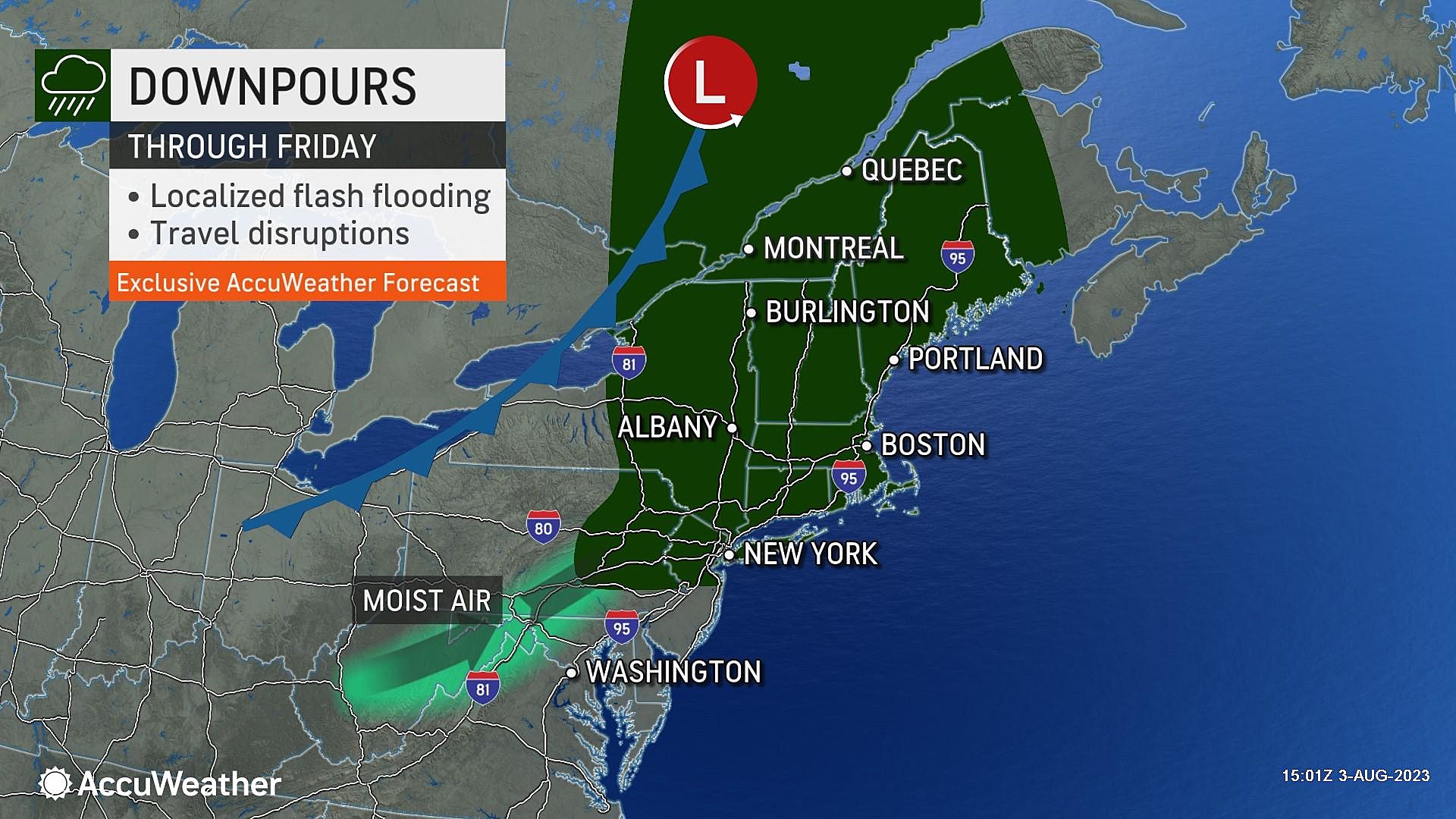
Welcome to our one and only unsettled day of this week. Yes, we are talking about the return of clouds and humidity and thunderstorms.
You will probably need the umbrella at some point Friday morning, afternoon, and/or evening. But it is not going to rain all day. Also, the window for severe weather is relatively narrow.
The best news of all: our weather will clear just in time for the first weekend of August.
Friday
After a week of nearly perfect, comfortable, warm, bright weather, Friday will be less-than-perfect.
We are already feeling the changes Friday morning. As promised, humidity levels have ticked upwards. So temperatures are not in the 50s to start the day — we are instead seeing 60s and 70s on the temperature map.
Skies will become mostly cloudy, if not overcast at times. I think there is an opportunity for peeks of sun in the afternoon. But high temperatures will be muted by cloud cover, only reaching about 75 to 80 degrees.

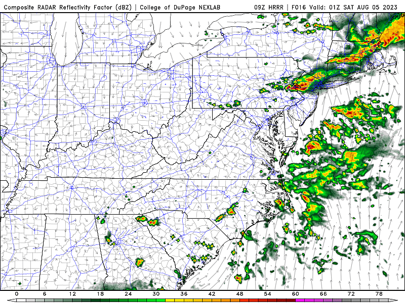
Two pieces of energy will ride through New Jersey's atmosphere Friday, drawing two potential rounds of rain.
The first impulse will ride along the coast from Friday morning through early afternoon. That may produce isolated to spotty showers. So a period of damp, dreary weather is possible.
The second impulse will be stronger, arriving in northwestern New Jersey Friday evening.
That cluster of thunderstorms will find a piece of the atmosphere more conducive to downpours, nasty lightning and thunder, and possibly some gusty winds. As storms charge eastward across the state, they will probably fizzle. Raindrops may linger after Midnight, but should end by daybreak Saturday.
Because of the blanket of clouds, overnight low temperatures will only dip into the upper 60s or so.
Saturday
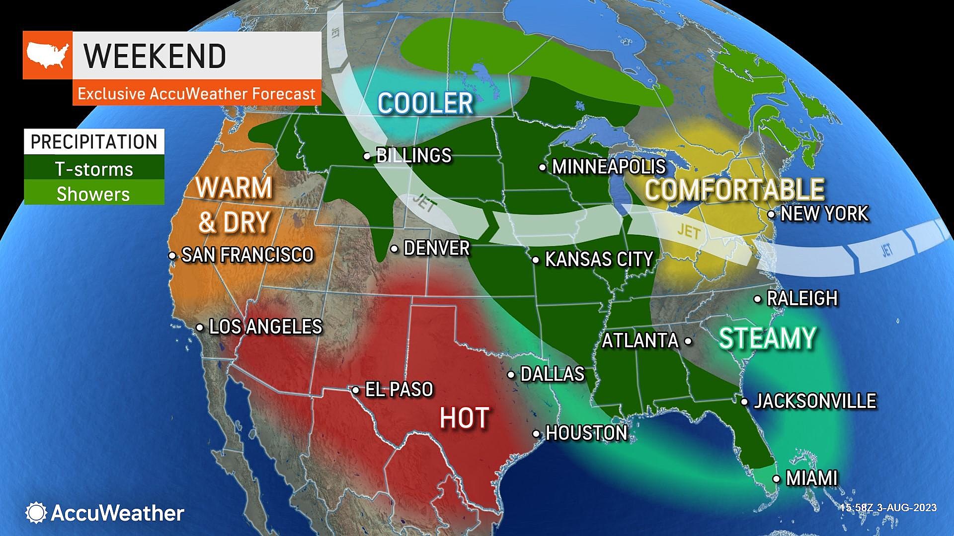
The 12 or 13 weekends between Memorial Day and Labor Day are absolutely precious here in New Jersey. And whenever we can squeeze out a summer weekend with dry weather and seasonable temperatures, it is reason to celebrate!
Humidity will dial back on Saturday, although not all the way. Dew points drop to around 60 — a little sticky, but not steamy.
As skies become partly sunny by midday Saturday, high temperatures will push into the mid 80s. That is very close to the long-term average high for this time of year. (Keep in mind, the "dog days of summer" are behind us now, as normal highs slowly descend through January.)
Sunday
More of the same. Humidity may drop a couple more points, as temperatures potentially warm up another degree or two. Look for partly sunny skies and highs again in the mid 80s. A wind shift may present a more prominent sea breeze Sunday afternoon, keeping beaches cooler and more comfortable.
Monday & Beyond
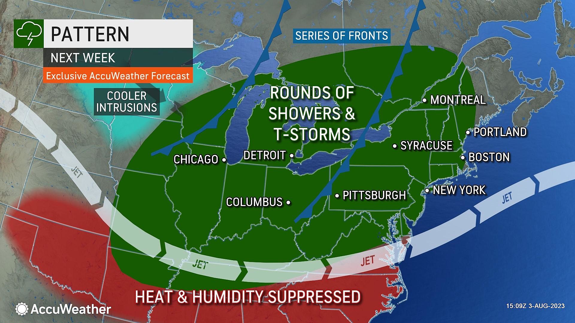
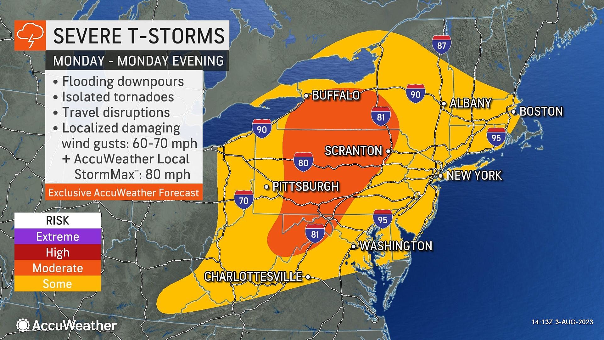
Monday turns unsettled again, as an eventual cold front approaches New Jersey.
An isolated shower will be possible at any time. The biggest threat for thunderstorms will be late-day, from late afternoon through early evening. And it looks like the atmosphere will be unstable and moist enough to potentially produce some heavy rain and wind concerns.
After that, our weather should settle down through midweek, with bright skies and warm temperatures resuming. We might touch 90 in a few spots. Next chance of rain is scheduled to arrive late Thursday into Friday.
Fore! The Absolute Best Mini Golf Courses at the Jersey Shore
CHECK OUT: All the free beaches in New Jersey
More From WPG Talk Radio 95.5 FM


