
NJ weather update: Accumulating snow looking likely for next week
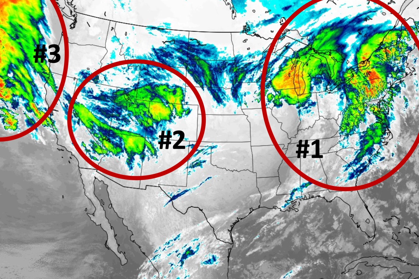
Good morning and happy Saturday. The 5 Day Forecast is a busy one, as we continue to track three storm systems that will impact New Jersey in the coming week. The first one will be tame. The second looks sloppy. And the third could turn into a significant winter storm.
This post offers an outline of what to expect over the next 5 days. It is light on details, on purpose. I will have much more analysis and insight to offer in my weather blog on Sunday, as this active forecast continues to evolve. I suspect we'll have to issue our first snow forecast map(s) of the season.
Saturday
Just blah. Spots of fog throughout the morning, and skies will remain mostly cloudy to overcast. A few waves of patchy drizzle and spotty showers will make for a damp day at times. But it's still not a washout or total loss. And at least temperatures are on the warm side — 40s in the morning, and 50s in the afternoon. (South Jersey may hit 60+.)
Sunday
One more round of showers will wrap up early morning (by 8 a.m. at the latest). And then the day will look fine, as clouds break apart and temperatures soar to almost 60 degrees again. However, you will have to contend with a brisk westerly wind — let's call it breezy. And temperatures will probably start to slide backward Sunday afternoon, as colder air returns.
Monday
Morning commute looks OK. But late morning through late afternoon could get sloppy, as a storm system passes just to our south. Compared to our previous forecasts, the precipitation looks more widespread. And temperatures in the northern half to third of the state should be conducive to at least some snow and ice. (South Jersey, this looks like a rain-only event.) I think we could see snowfall totals in North Jersey on the order of 2 to 4 inches. Not a major storm, but still pretty impactful. Especially since that will be falling and accumulating during the day. (As I said earlier, this is a rapidly developing forecast situation, and I'll have much more detail on timing and accumulations for you soon.)
Tuesday
Cold, but quiet.
Wednesday-Thursday
All major medium-range forecast models continue to show a nor'easter significantly impacting New Jersey. Timing is one big challenge right now — notably, the GFS model shows a daytime-Wednesday arrival, while the Euro model is more of a Wednesday night to Thursday event. And the other big problem is temperatures — south and coast could very well see only rain once again. Where will the freezing line end up, and how will it travel during the storm? That's the big question. The range of snow accumulation could be huge here, with both 0" and 15" snow totals in New Jersey by the end of this thing?
The Plan
It's been a while since we've had such an active, wintry weather pattern. Please understand that forecasting these "beasts" is very complicated and needs to be a slow, methodical process. Getting too confident or offering too many finite forecast details at this stage would be gross hyperbole. Period, full stop.
So I want to get a few more model runs under my belt before I put out an official timeline or snow map for Monday or (especially) Wednesday-Thursday. We'll continue monitoring, with updates on-air and online throughout the weekend and early next week.

More From WPG Talk Radio 95.5 FM


