
NJ weather: When will the heavy rain, flooding, and wind subside?
The Bottom Line
Our "end of weekend" coastal storm system behaved pretty closely to expectations. Most rainfall totals are in the 2 to 4 inch range, with a few spots approaching 5 inches. Top wind gusts have been just over 50 mph. And there have been some reports of tidal flooding, but only in the minor category. (i.e. "The usual spots.")
We are not done yet. One or two additional pushes of heavy rain and elevated wind gusts are expected through mid-morning Monday. Then scattered rain — generally wet, unsettled weather — will linger through early afternoon. Flooding remains the big concern, with wind-driven power outages too.
As skies clear Monday afternoon, thermometers will drop on a brisk wind. A December chill will return for Tuesday, although temperatures will turn more seasonable by midweek.
Our next big storm system threat is over a week away. Yes, that means generally dry, quiet weather will last right through Christmas Day.

Monday
I consider myself a good "bad weather" driver. (It's part of the job.) And I have to admit that my ride to work Monday morning was rough. Poor traction. Poor visibility. Idiotic drivers going way too fast for the stormy conditions. You too may face some challenges on your morning ride. be careful and stay vigilant.
As of this writing (6 a.m.), there are two batches of moderate to heavy rain left to push through the state. So I can not say the "brunt" of the storm is over, especially since wet weather will heavily impact the morning rush. However, we are starting to see improvements, as the rain is becoming more scattered (more broken apart) already.
By mid-morning — around 8 a.m., things should really be calming down across New Jersey. However, I think pockets of rain will linger a bit. I can not guarantee completely dry weather until early Monday afternoon, between about Noon and 2 p.m.
Note: There is zero threat of wintry weather Monday. It's all rain.
A Flood Watch continues until later today, as additional downpours may exacerbate ponding and flooding issues that already exit. A Wind Advisory covers the coast for a little bit longer. And we still have a Coastal Flood Advisory posted for the Jersey Shore, with minor category flooding forecast for one more high tide cycle (around midday Monday).
Beyond the rain, wind, and flooding threat, we will see glimmers of blue sky break out Monday afternoon. It will stay windy, with potential gusts in the 30 to 40 mph range. And temperatures will start to drop. While Monday begins with temps near 60 degrees, I think they will be closer to 50 (give or take) by sunset (4:30 p.m.)
Monday night will be cold, with lows in the lower to mid 30s. And the chilly breeze will not die down completely, adding a little bite to that cold air. Wind chills ("feels like" temperatures) will probably be in the 20s overnight.
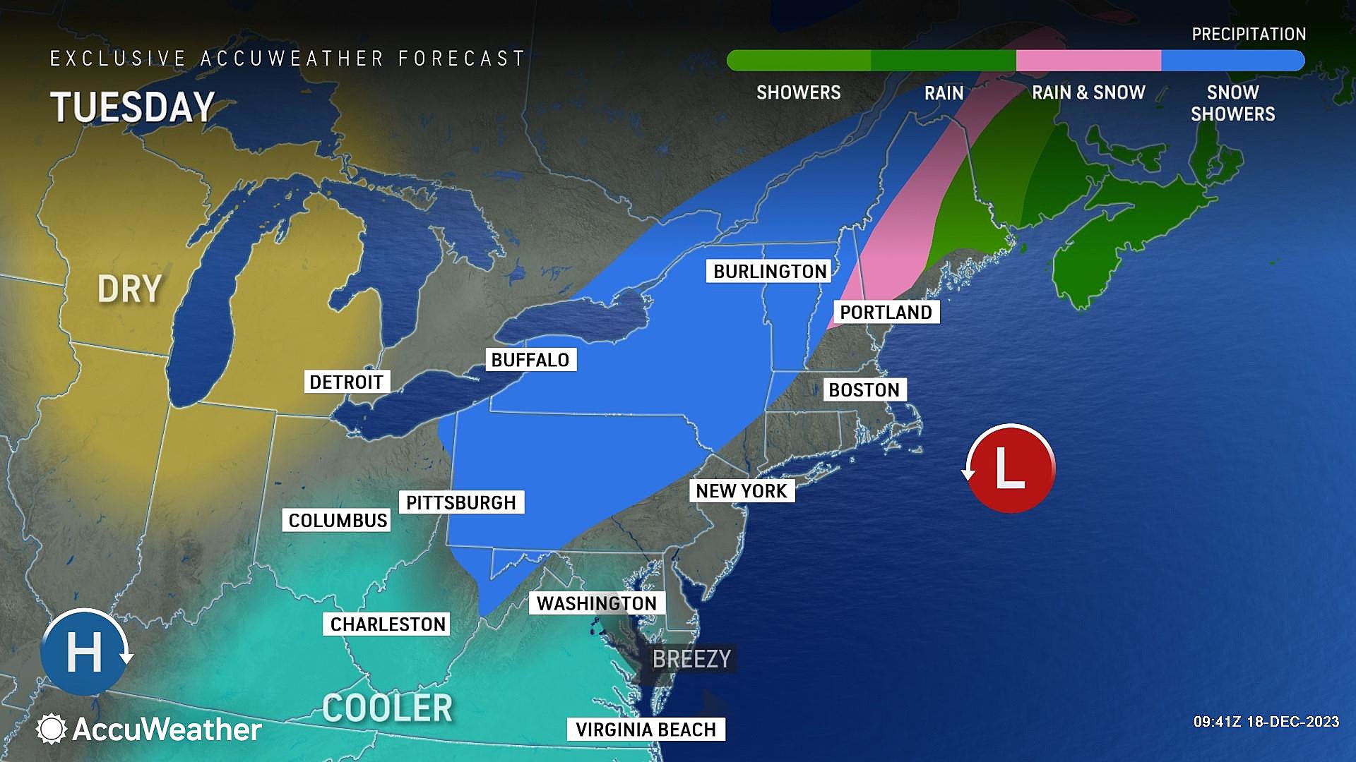
Tuesday
One cold day. High temperatures will only reach about 40 degrees. (That means quite a few spots may be stuck in the 30s all day.)
We will see a mix of sun and clouds Tuesday. And we will continue to feel a chilly breeze.
A snow shower or even a squall could pop up around North Jersey Tuesday morning. The chance is slight, but worth mentioning.
Wednesday
Better weather, as temperatures moderate to more seasonable levels.
Wednesday's forecast looks sunny, calm, and dry. High temperatures in the mid 40s matches seasonal normals for the last day of autumn.
Thursday
Thursday is the first day of winter — the Winter Solstice officially hits at 10:27 p.m. And weather-wise, it will be very similar to Wednesday with mostly sunny skies and highs in the mid 40s.
Friday & Beyond
The weekend stays quiet and seasonably cool. Friday and Saturday will feature some cloud cover, and highs in the lower 40s. Sunday (Christmas Eve) brings a return of sunshine and warmer upper 40s.
Both the GFS and Euro models paint our next rainstorm arriving after Christmas, around Tuesday or Wednesday of next week. Sorry to say, our White Christmas hopes are fading. But at least pre-holiday travel will be nice and easy across all corners of the Garden State.
DREAMING OF A WHITE CHRISTMAS IN NJ? Here are the odds
Gallery Credit: Mike Brant
Dan Zarrow is Chief Meteorologist for Townsquare Media New Jersey. Follow him on Facebook for the latest forecast and realtime weather updates.
BEEP BEEP BEEP: These are the 13 types of Wireless Emergency Alerts auto-pushed to your phone
Gallery Credit: Dan Zarrow
More From WPG Talk Radio 95.5 FM


