Thursday Weather Looks Good for NJ, as Most Storms Fire to the West
This is still a pretty unsettled forecast — spoiler alert, I have to include at least a shower chance in the forecast for the next week. But there will be stretches of pleasant weather along the way. That is, until some heat gets added to the mix by the end of the weekend.
Once again, we're waking up to some fog on this Thursday morning. The National Weather Service apparently has some evidence pointing to patches of thick fog out there. So they have issued a Dense Fog Advisory until 8 a.m. for western New Jersey — northwestern Burlington, Camden, Gloucester, Hunterdon, Mercer, and Somerset counties. Visibilities may drop below a half-mile, so please be careful out there!
The rest of the day is still looking pretty good. We'll see a mix of sun and clouds throughout the state throughout the day. (Thanks to a light on-shore wind, I am concerned that the coast ends up a bit on the cloudy side today.) Humidity has lowered slightly. High temperatures Thursday afternoon will range from the upper 70s (coast) to lower 80s (inland). That's slightly cooler than normal for mid-August, but still warm and pleasant.
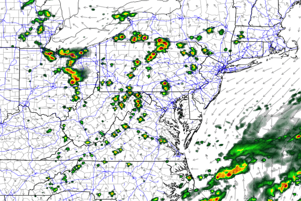
Rain chances look minimal Thursday, as scattered storms fire west of New Jersey. I can't rule out a stray shower at some point, but I suspect the vast majority of New Jersey will stay dry all day. (Again, contributing to the overall pleasant character of this weather forecast.)
By the way, one more note about the air. Grass pollen is on the rise, bumping into the moderate range for the first time in a while. Tree pollen reads low, weed pollen is low, and ragweed is high. Got the sniffles and eye-scratches? That's why.
Mixed clouds and spotty showers are possible Thursday night. We'll still taste some not-too-humid air, allowing low temperatures to dip into the upper 60s for most of the state.
I'm thinking Friday will be a bit greyer, as skies turn mostly cloudy once again. Isolated showers seem a better bet to close out the workweek. We'll put the high temperature forecast once again right around 80 degrees.
The weekend is going to be very warm (if not hot) and pretty humid. I'm seeing partly sunny skies for Saturday, with seasonable highs in the mid 80s. Sunday will be the sunnier and hotter day, as thermometers make a run for about 90 degrees. And — surprise, surprise — there will be a chance for showers and thunderstorms this weekend too. I have to hesitate about the exact timing and geography about any raindrops, as forecast models are still wildly inconsistent. It doesn't look like a washout, and I'm not seeing a severe weather outbreak in the cards. So for now, let's keep those weekend plans intact and expect to "keep an eye on the sky".
Sunday could very well be the start of another heat wave. 90s are possible for Monday and Tuesday too, at least. The heat index ("feels like" temperature) could climb close to 100 degrees — that's dangerous heat territory.
Our next big weather pattern change will arrive midweek, sometime around Wednesday. A round of strong thunderstorms will precede the arrival of cooler and drier air. Again, timing is out to lunch — we'll nail it down further as it gets closer.
Dan Zarrow is Chief Meteorologist for Townsquare Media New Jersey. Follow him on Facebook or Twitter for the latest forecast and realtime weather updates.
More From WPG Talk Radio 95.5 FM


