Weather in a Word for NJ Thursday: Unsettled
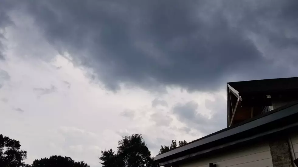
Welcome to August! We exit a wetter-than-normal July to discover more rain on the way. While there are no washout days in this forecast, I do see a daily chance of raindrops for the foreseeable future.
The front that spawned Wednesday's heavy thunderstorms has stalled just south of New Jersey. That frontal boundary will serve as a "highway" for little impulses (storm systems) that ride through every day.
Some have accused me of using the word "unsettled" as a euphemism for throwing my arms in the air and screaming "I don't know!" Actually, that's not entirely untrue! Models are really all over the place regarding the timing, spread, and intensity of rain. (This forecast is really a hot mess!) I'm going to try to pinpoint where and when rain is most likely over the next several days — but just know that I wouldn't rule out raindrops falling somewhere in New Jersey at any time for the next 72 hours or so.
On this Thursday morning, you may encounter some spotty sprinkles or patchy fog. (Visibility is down to a half-mile for part of North Jersey.) Then, we should break into sunshine through Thursday midday. That will push temperatures into the pleasant, seasonable mid 80s.
However, a few showers and thunderstorms are expected to pop up Thursday afternoon. Best chance for rain will be in southern New Jersey. While widespread severe weather seems unlikely, some heavy rain, a gusty of wind, and/or wicked lightning is certainly possible. Having said that, if you can avoid the spotty rain, your Thursday should be a nice summer day.
We'll do it again Friday, with showers and thunderstorms possible once again. This time, it looks like a statewide concern, both early and late in the day. With mostly cloudy skies, high temperatures will be limited to the lower 80s Friday afternoon.
And I have to include occasional showers in Saturday's forecast too — but it is important to note that the start of the weekend will not be a total washout. I'm leaning toward a mostly cloudy sky on Saturday, with highs in the seasonable mid 80s.
Sunday should be mainly dry for the Garden State, with just an isolated shower around. It will be a partly sunny and hot day, with high temperatures close to 90 degrees.
A brief taste of dry air arrives on Monday, which still looks like our best shot at a completely dry day this week. That's because humidity and rain chances increase again on Tuesday.
More From WPG Talk Radio 95.5 FM


